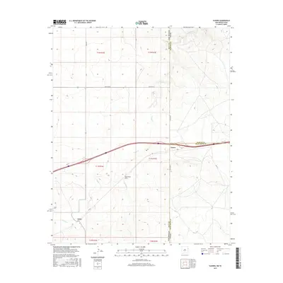
2017 Map of Glenrio
USGS Topo · Published 2017About this map
Glenrio straddles the high plains boundary where the Texas Panhandle meets New Mexico, a site famously defined by its location along the Mother Road. This survey highlights the transition from the legacy of Rte 66 to the modern corridor of Interstate 40. The landscape is etched by drainage systems like Trujillo Cr, Martha Cr, and the Sand Point Draw, which cut through the open ranching country of Deaf Smith and Oldham Counties. To the southwest, the settlement of Endee remains a focal point for local history, anchored by the Endee Cem. The map provides a clear view of the rural road network, including Quay Road 66 and Co Rd Tt, which trace the section lines of this arid borderland.
Find a feature on this map
24 named features on this map. Tap any name to fly to it.
Don’t see what you’re looking for? This feature index may not catch every label — zoom into the map to look around manually.
Map Details
Editions of this 2017 Glenrio Map
This is the sole edition of this map. No revisions or reprints were ever made.
Other maps of this area
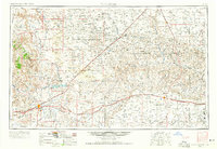
1954 · Tucumcari
USGS Topo · 1:250,000
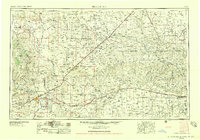
1958 · Tucumcari
USGS Topo · 1:250,000
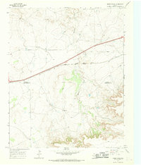
1966 · Moser Ranch
USGS Topo · 1:24,000
1966 · Signal Spring
USGS Topo · 1:24,000
1966 · Sand Point
USGS Topo · 1:24,000
1968 · Rock Camp
USGS Topo · 1:24,000
1968 · Blue Hole
USGS Topo · 1:24,000
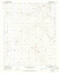
1968 · Riley Camp
USGS Topo · 1:24,000
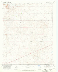
1968 · Bard
USGS Topo · 1:24,000
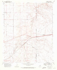
1968 · Glenrio
USGS Topo · 1:24,000