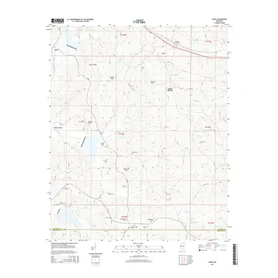
2015 Map of Glens
USGS Topo · Published 2015About this map
Jacinto anchors the southern portion of this landscape, a historic community situated near the border of Alcorn and Prentiss counties. The topography is defined by a series of prominent ridges and hollows, including Bennett Ridge, Browder Ridge, and Winbush Ridge, which channel numerous tributaries such as Clear Cr and Yellow Jacket Cr. To the north, the settlement of Glens sits along the corridor of Old US-72, while smaller hamlets like Indian Springs and Searcy Town are dispersed among the wooded hills.
Find a feature on this map
140 named features on this map. Tap any name to fly to it.
Don’t see what you’re looking for? This feature index may not catch every label — zoom into the map to look around manually.
Map Details
Editions of this 2015 Glens Map
This is the sole edition of this map. No revisions or reprints were ever made.
Other maps of this area

1921 · Booneville
USGS Topo · 1:48,000

1922 · Booneville
USGS Topo · 1:62,500

1935 · Holcut
USGS Topo · 1:24,000

1935 · Doskie
USGS Topo · 1:24,000

1935 · Leedy
USGS Topo · 1:24,000

1935 · Glens
USGS Topo · 1:24,000

1936 · Kendrick
USGS Topo · 1:24,000

1950 · Corinth
USGS Topo · 1:62,500

1950 · Kendrick
USGS Topo · 1:24,000

1950 · Paden
USGS Topo · 1:24,000