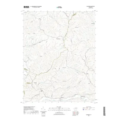
2019 Map of Glensboro
USGS Topo · Published 2019About this map
The Salt River winds through the southern landscape of this region, where the rural crossroads of Glensboro and Anderson City sit near the riverbanks. This area of central Kentucky is defined by its ridge-and-hollow topography, with named elevations like Pea Ridge and Cat Ridge separating the various prongs of Crooked Cr and Beech Creek. Small, dispersed settlements such as Harrisonville, Gee, and Birdie are connected by a network of winding local roads, including Hickory Ridge Rd and Mount Eden Rd.
Find a feature on this map
77 named features on this map. Tap any name to fly to it.
Don’t see what you’re looking for? This feature index may not catch every label — zoom into the map to look around manually.
Map Details
Editions of this 2019 Glensboro Map
This is the sole edition of this map. No revisions or reprints were ever made.
Other maps of this area

1905 · Harrodsburg
USGS Topo · 1:125,000

1922 · Frankfort
USGS Topo · 1:48,000

1923 · Waddy
USGS Topo · 1:48,000

1924 · Frankfort
USGS Topo · 1:62,500

1925 · Mount Eden
USGS Topo · 1:48,000

1927 · Mount Eden
USGS Topo · 1:62,500

1951 · Lawrenceburg
USGS Topo · 1:24,000

1952 · Ashbrook
USGS Topo · 1:24,000

1952 · Chaplin
USGS Topo · 1:24,000

1952 · Mc Brayer
USGS Topo · 1:24,000