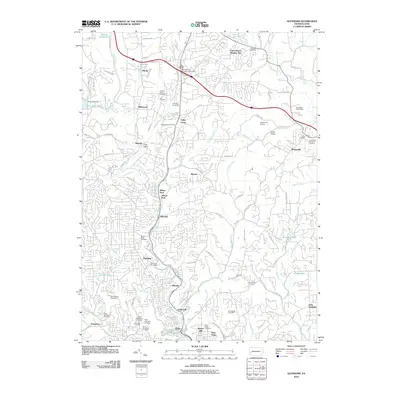
2010 Map of Glenshaw
USGS Topo · Published 2010About this map
Pine Creek and its many tributaries, including Gourdhead Run and Little Pine Creek, carve through the suburban landscape north of Pittsburgh during this first decade of the 21st century. The map reveals a dense network of residential development interspersed with significant institutional land, particularly cemeteries such as Mount Royal Cemetery and Saint Marys Cemetery. These large green spaces, along with Allison Park and the Rose Ridge Golf Course, provide a structured counterpoint to the growing neighborhoods of Elfinwild, Glenshaw, and Allison Park.
Find a feature on this map
112 named features on this map. Tap any name to fly to it.
Don’t see what you’re looking for? This feature index may not catch every label — zoom into the map to look around manually.
Map Details
Editions of this 2010 Glenshaw Map
This is the sole edition of this map. No revisions or reprints were ever made.
Other maps of this area

1904 · Mc Keesport
USGS Topo · 1:62,500

1904 · Carnegie
USGS Topo · 1:62,500

1906 · Carnegie
USGS Topo · 1:62,500

1906 · Sewickley
USGS Topo · 1:62,500

1907 · Pittsburg
USGS Topo · 1:62,500

1908 · Sewickley
USGS Topo · 1:62,500

1908 · Carnegie
USGS Topo · 1:62,500

1908 · New Kensington
USGS Topo · 1:62,500

1910 · New Kensington
USGS Topo · 1:62,500

1948 · Pittsburgh West
USGS Topo · 1:24,000
Featured Places
- Ross Township, PA
- McCandless, PA
- Etna, PA
- Fawn Haven Number Two, Hampton Township
- Glenshaw, Shaler Township