1908 Map of Glenwood
USGS Topo · Published 1924About this map
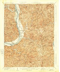
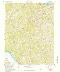
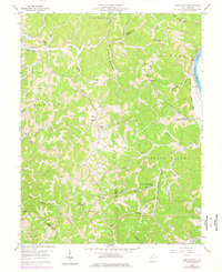
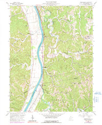
The Ohio River defines the central axis of this West Virginia and Ohio borderland, where the Baltimore And Ohio Rr runs parallel to the eastern bank. Riverside settlements such as Apple Grove and Mercers Bottom are concentrated along the alluvial flats, while the interior of Mason County is dominated by the complex drainage of Sixteenmile Creek, Eighteenmile Creek, and Guyan Creek. Small crossroads like Glenwood and Ashton serve as community hubs during this early 20th-century era, supported by local institutions including Beulah Ch and Siloam Sch.
Find a feature on this map
57 named features on this map. Tap any name to fly to it.
Don’t see what you’re looking for? This feature index may not catch every label — zoom into the map to look around manually.
Map Details
Editions of this 1908 Glenwood Map
3 editions found

Historical Maps of Mohrtown Through Time
14 maps found

1906 Glenwood
Mason County, WV
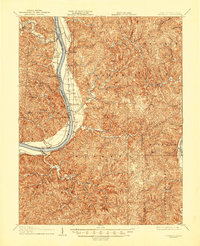
1908 Glenwood
Mason County, WV
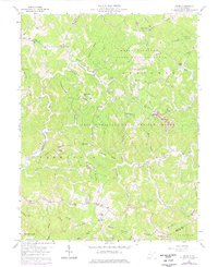
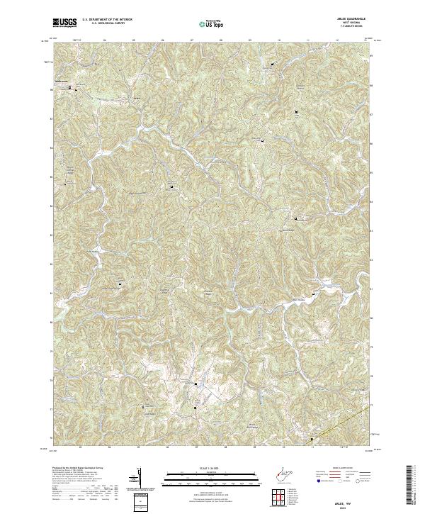
1957 Beech Hill
Mason County, WV
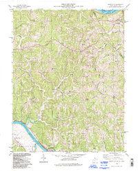
1958 Arlee
Mason County, WV
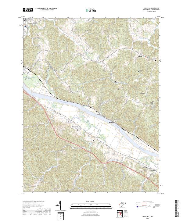
1958 Mount Alto
Mason County, WV
1958 Mount Olive
Mason County, WV
1958 Robertsburg
Mason County, WV
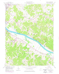
1977 Robertsburg
Mason County, WV
1994 Mount Alto
Mason County, WV
2023 Arlee
Mason County, WV
2023 Beech Hill
Mason County, WV
2023 Mount Alto
Mason County, WV
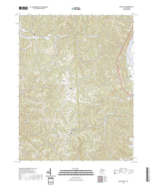
2023 Mount Olive
Mason County, WV
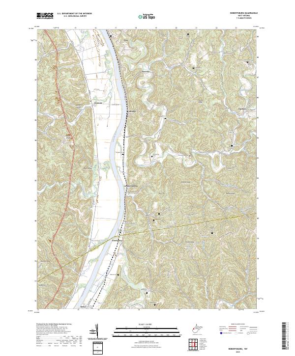
2023 Robertsburg
Mason County, WV