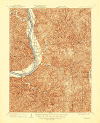
1908 Map of Glenwood
USGS Topo · Published 1946About this map
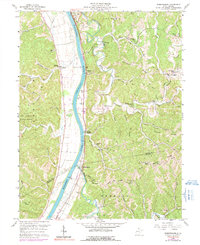
The Ohio River dominates this early twentieth-century survey, serving as the primary corridor for commerce and navigation between West Virginia and Ohio. Along its eastern banks, the Baltimore and Ohio Railroad connects a string of riverside landings and settlements including Ben Lomond, Hogsett, and Apple Grove. The map details the transition from the river bottomlands, such as Mercers Bottom, to the dissected hills of Hannan and Clendenin districts. To the south, the Kanawha River appears as it approaches its confluence, while the broad Teays Valley cuts through the southeastern corner. Genealogists and local historians can trace specific early sites like the Chambersbury Eureka P.O. and Bushs Mill, alongside numerous tributary runs and forks like Eighteenmile Creek and Stonecoal Run that shaped the rural interior’s development before modern highways altered these valley communities.
Find a feature on this map
42 named features on this map. Tap any name to fly to it.
Don’t see what you’re looking for? This feature index may not catch every label — zoom into the map to look around manually.
Map Details
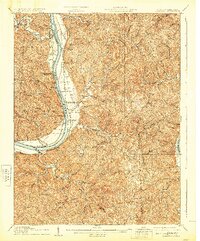
Editions of this 1908 Glenwood Map
3 editions found

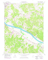
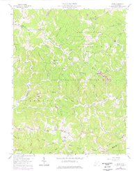
Historical Maps of Mohrtown Through Time
14 maps found

1906 Glenwood
Mason County, WV
1908 Glenwood
Mason County, WV
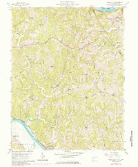
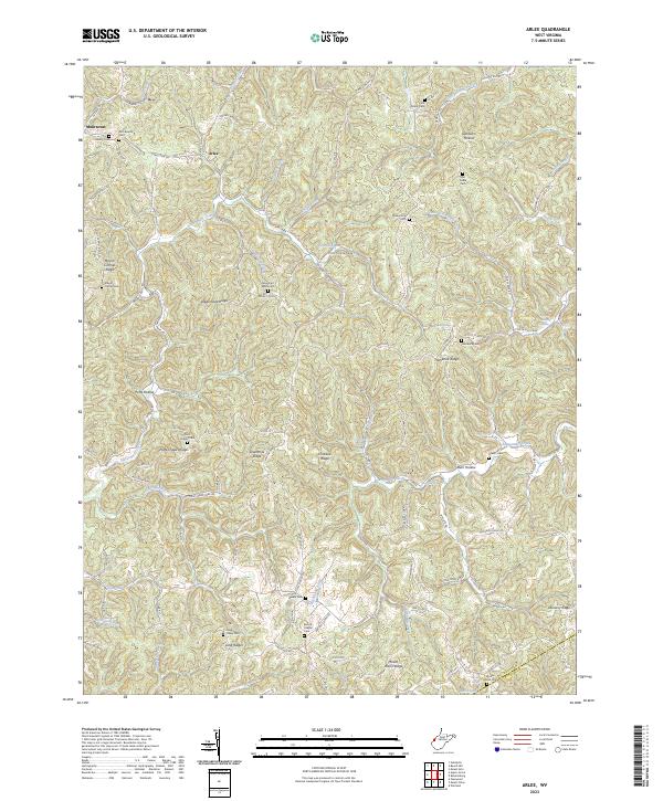
1957 Beech Hill
Mason County, WV
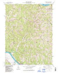
1958 Arlee
Mason County, WV
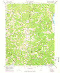
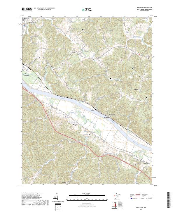
1958 Mount Alto
Mason County, WV
1958 Mount Olive
Mason County, WV
1958 Robertsburg
Mason County, WV
1977 Robertsburg
Mason County, WV
1994 Mount Alto
Mason County, WV
2023 Arlee
Mason County, WV
2023 Beech Hill
Mason County, WV
2023 Mount Alto
Mason County, WV
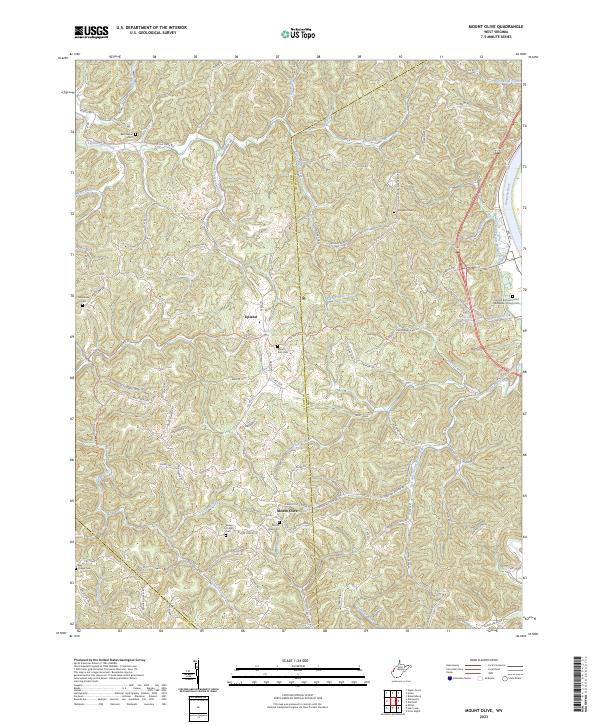
2023 Mount Olive
Mason County, WV
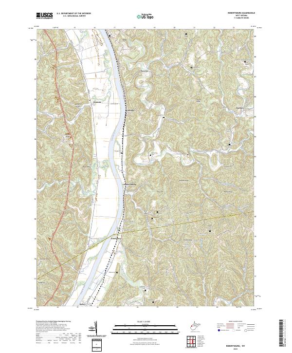
2023 Robertsburg
Mason County, WV