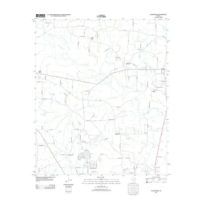
2013 Map of Glenwood
USGS Topo · Published 2013About this map
Little Cypress Creek meanders across this Northeast Texas landscape, defining the topography between several small rural communities in Upshur County. The area is characterized by scattered settlements including Glenwood, Bethlehem, and Graceton, each connected by a network of farm-to-market roads and local lanes named for birds and flowers. For genealogists, the map is particularly useful for locating several rural burial grounds such as Glenwood Cemetery and Bethlehem Cemetery. The presence of the New Diana Oil Field in the eastern portion of the sheet reflects the local energy economy, while numerous small water bodies like Barton Lake and McClellan Lake are peppered throughout the drainages of Clear Creek and Bog Creek.
Find a feature on this map
100 named features on this map. Tap any name to fly to it.
Don’t see what you’re looking for? This feature index may not catch every label — zoom into the map to look around manually.
Map Details
Editions of this 2013 Glenwood Map
This is the sole edition of this map. No revisions or reprints were ever made.
Other maps of this area

1956 · Tyler
USGS Topo · 1:250,000

1960 · Bettie
USGS Topo · 1:24,000

1960 · White Oak
USGS Topo · 1:24,000

1960 · Gilmer
USGS Topo · 1:24,000

1960 · Coffeeville
USGS Topo · 1:24,000

1960 · Glenwood
USGS Topo · 1:24,000

1960 · Gladewater
USGS Topo · 1:24,000

1962 · Ashland
USGS Topo · 1:24,000

1962 · Longview Heights
USGS Topo · 1:24,000

1962 · Ore City
USGS Topo · 1:24,000