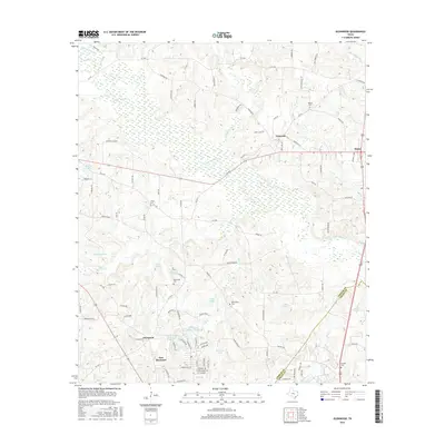
2016 Map of Glenwood
USGS Topo · Published 2016About this map
East Mountain and the surrounding piney woods of Northeast Texas are defined by a network of small lakes and creek bottomlands in this 2016 survey. The landscape is dotted with several family and community burial grounds, including Mattox Cem and Floyds Cem, which serve as vital touchstones for local genealogy. The transition from the more developed southern portion near Glenwood to the northern reaches near Graceton reveals a pattern of dispersed rural residential growth along a grid of county and state roads such as FM 726 and FM 1650.
Find a feature on this map
102 named features on this map. Tap any name to fly to it.
Don’t see what you’re looking for? This feature index may not catch every label — zoom into the map to look around manually.
Map Details
Editions of this 2016 Glenwood Map
This is the sole edition of this map. No revisions or reprints were ever made.
Other maps of this area

1956 · Tyler
USGS Topo · 1:250,000

1960 · Bettie
USGS Topo · 1:24,000

1960 · White Oak
USGS Topo · 1:24,000

1960 · Gilmer
USGS Topo · 1:24,000

1960 · Coffeeville
USGS Topo · 1:24,000

1960 · Glenwood
USGS Topo · 1:24,000

1960 · Gladewater
USGS Topo · 1:24,000

1962 · Ashland
USGS Topo · 1:24,000

1962 · Longview Heights
USGS Topo · 1:24,000

1962 · Ore City
USGS Topo · 1:24,000