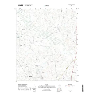
2019 Map of Glenwood
USGS Topo · Published 2019About this map
East Mountain and Glenwood anchor the southern portion of this East Texas survey, where the landscape is defined by the winding course of Little Cypress Cr and its numerous tributaries like Gum Cr and Clear Cr. The area is notably dense with family and community burial sites, including Mattox Cem, Floyds Cem, Glenwood Cem, and Bethlehem Cem, which serve as vital landmarks for tracing the region's ancestral roots. To the north, the small settlements of Graceton and Diana sit along FM 154, illustrating the rural road network that connects these communities. The presence of several small water bodies, such as Barton Lake and Brawley Lake, suggests a terrain shaped by local hydrology and small-scale land use, characteristic of the wooded hills near the Upshur and Gregg county line.
Find a feature on this map
105 named features on this map. Tap any name to fly to it.
Don’t see what you’re looking for? This feature index may not catch every label — zoom into the map to look around manually.
Map Details
Editions of this 2019 Glenwood Map
This is the sole edition of this map. No revisions or reprints were ever made.
Other maps of this area

1956 · Tyler
USGS Topo · 1:250,000

1960 · Bettie
USGS Topo · 1:24,000

1960 · White Oak
USGS Topo · 1:24,000

1960 · Gilmer
USGS Topo · 1:24,000

1960 · Coffeeville
USGS Topo · 1:24,000

1960 · Glenwood
USGS Topo · 1:24,000

1960 · Gladewater
USGS Topo · 1:24,000

1962 · Ashland
USGS Topo · 1:24,000

1962 · Longview Heights
USGS Topo · 1:24,000

1962 · Ore City
USGS Topo · 1:24,000