
1954 Map of Glide
USGS Topo · Published 1957About this map
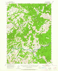
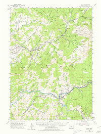
English Settlement and the surrounding timberlands of Douglas County are documented here in the mid-1950s, highlighting a landscape defined by the intersection of natural watercourses and industrial access. The Calapooya River and the North Fork of the Umpqua provide the primary drainage for this mountainous terrain, where ridges like Taylor Ridge and Robinson Ridge separate numerous creek valleys. Evidence of the region's mid-century timber economy is prominent, specifically through the network of the Private Logging Railroad and various private roads used for extraction.
Find a feature on this map
81 named features on this map. Tap any name to fly to it.
Don’t see what you’re looking for? This feature index may not catch every label — zoom into the map to look around manually.
Map Details
Editions of this 1954 Glide Map
3 editions found
Other maps of this area

1897 · Roseburg
USGS Topo · 1:125,000

1900 · Roseburg
USGS Topo · 1:125,000

1935 · Lowell
USGS Topo · 1:96,000

1942 · Lowell
USGS Topo · 1:125,000

1954 · Dixonville
USGS Topo · 1:62,500

1954 · Sutherlin
USGS Topo · 1:62,500

1954 · Drain
USGS Topo · 1:62,500

1954 · Anlauf
USGS Topo · 1:62,500

1955 · Red Butte
USGS Topo · 1:62,500

1955 · Mace Mtn
USGS Topo · 1:62,500