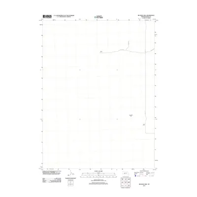
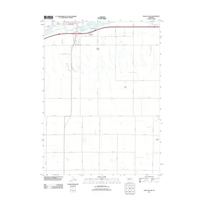
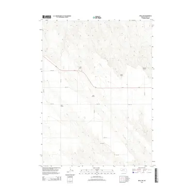
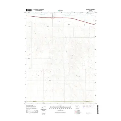
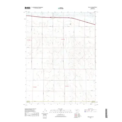
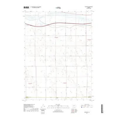
2021 Map of Glinn Ranch
USGS Topo · Published 2021About this map
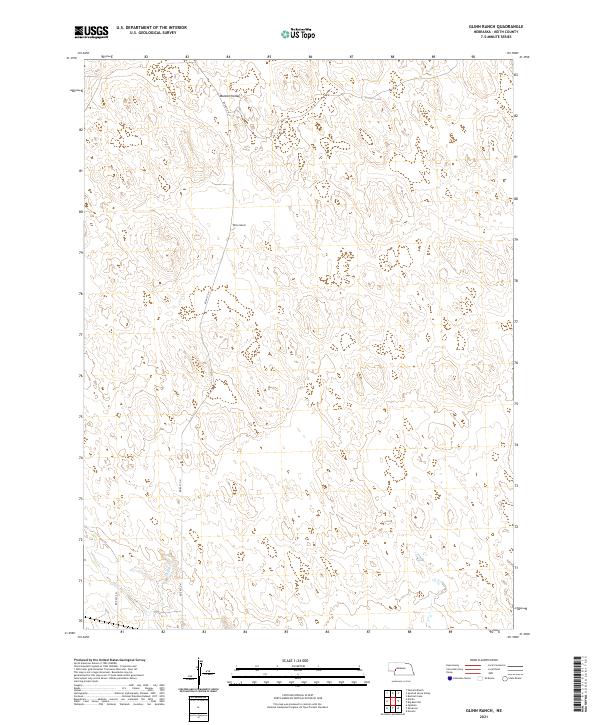
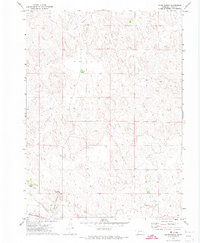
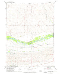
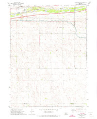
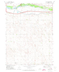
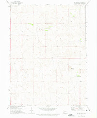
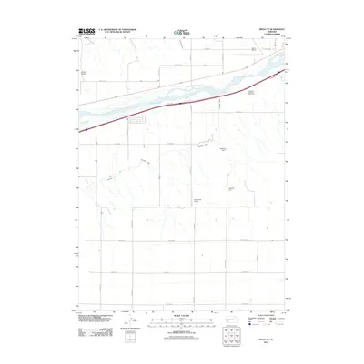
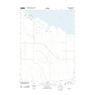
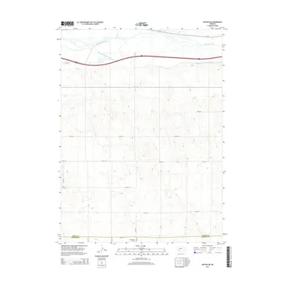
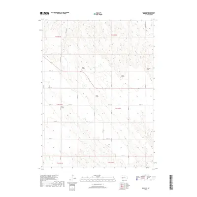
Mannon Valley and the namesake Glinn Ranch anchor this landscape in the sandhills of Keith County. The terrain is defined by a dense network of depressions and rises typical of this part of Nebraska, where drainage is sparse. One of the few named water features, Spring Cr, flows through the southern portion of the quadrangle. Transportation is limited to a few section-line roads, including Rd East G N and Rd East F N, which provide access to the isolated ranching operations. The map clearly delineates the township and range boundaries, such as t16n r37w and t15n r38w, which have dictated the settlement and land-use patterns of the region since the late nineteenth century.
Find a feature on this map
9 named features on this map. Tap any name to fly to it.
Don’t see what you’re looking for? This feature index may not catch every label — zoom into the map to look around manually.
Map Details
Editions of this 2021 Glinn Ranch Map
This is the sole edition of this map. No revisions or reprints were ever made.
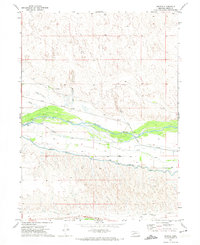
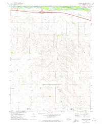
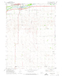
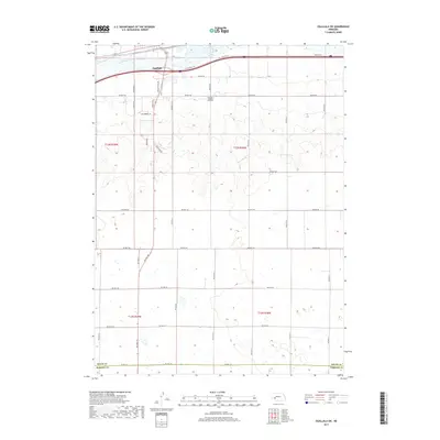
Historical Maps of Keith County Through Time
60 maps found
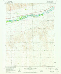
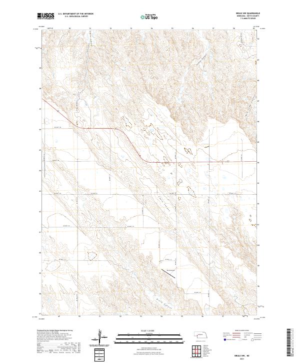
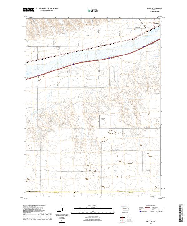
1961 Brule SE
Keith County, NE
1971 Brule NE
Keith County, NE
1971 Brule NW
Keith County, NE
1971 Glinn Ranch
Keith County, NE
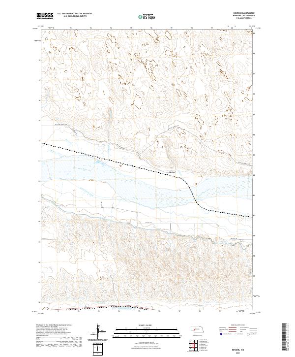
1971 Nevens
Keith County, NE
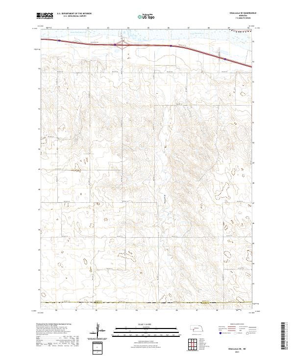
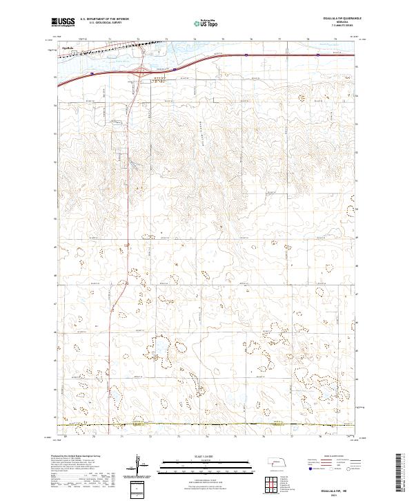
1971 Ogallala SE
Keith County, NE
1971 Ogallala SW
Keith County, NE
1971 Paxton North
Keith County, NE
1971 Paxton South
Keith County, NE
1971 Paxton SW
Keith County, NE
1972 Big Bald Hill
Keith County, NE
1972 Big Bald Hill SE
Keith County, NE
2011 Big Bald Hill
Keith County, NE
2011 Big Bald Hill SE
Keith County, NE
2011 Brule NW
Keith County, NE
2011 Brule SE
Keith County, NE
2011 Glinn Ranch
Keith County, NE
2011 Nevens
Keith County, NE
2011 Ogallala SE
Keith County, NE
2011 Ogallala SW
Keith County, NE
2011 Paxton North
Keith County, NE
2011 Paxton South
Keith County, NE
2011 Paxton SW
Keith County, NE
2012 Brule NE
Keith County, NE
2014 Big Bald Hill
Keith County, NE
2014 Big Bald Hill SE
Keith County, NE
2014 Brule NE
Keith County, NE
2014 Brule NW
Keith County, NE
2014 Brule SE
Keith County, NE
2014 Glinn Ranch
Keith County, NE
2014 Nevens
Keith County, NE
2014 Ogallala SE
Keith County, NE
2014 Ogallala SW
Keith County, NE
2014 Paxton North
Keith County, NE
2014 Paxton South
Keith County, NE
2014 Paxton SW
Keith County, NE
2017 Big Bald Hill
Keith County, NE
2017 Big Bald Hill SE
Keith County, NE
2017 Brule NE
Keith County, NE
2017 Brule NW
Keith County, NE
2017 Brule SE
Keith County, NE
2017 Glinn Ranch
Keith County, NE
2017 Nevens
Keith County, NE
2017 Ogallala SE
Keith County, NE
2017 Ogallala SW
Keith County, NE
2017 Paxton North
Keith County, NE
2017 Paxton South
Keith County, NE
2017 Paxton SW
Keith County, NE
2021 Big Bald Hill
Keith County, NE
2021 Big Bald Hill SE
Keith County, NE
2021 Brule NE
Keith County, NE
2021 Brule NW
Keith County, NE
2021 Brule SE
Keith County, NE
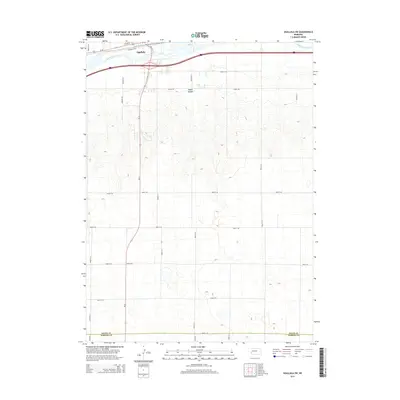
2021 Glinn Ranch
Keith County, NE
2021 Nevens
Keith County, NE
2021 Ogallala SE
Keith County, NE
2021 Ogallala SW
Keith County, NE
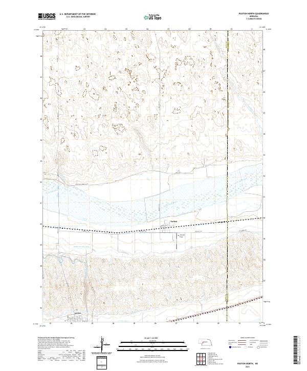
2021 Paxton North
Keith County, NE
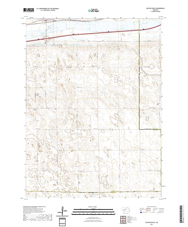
2021 Paxton South
Keith County, NE
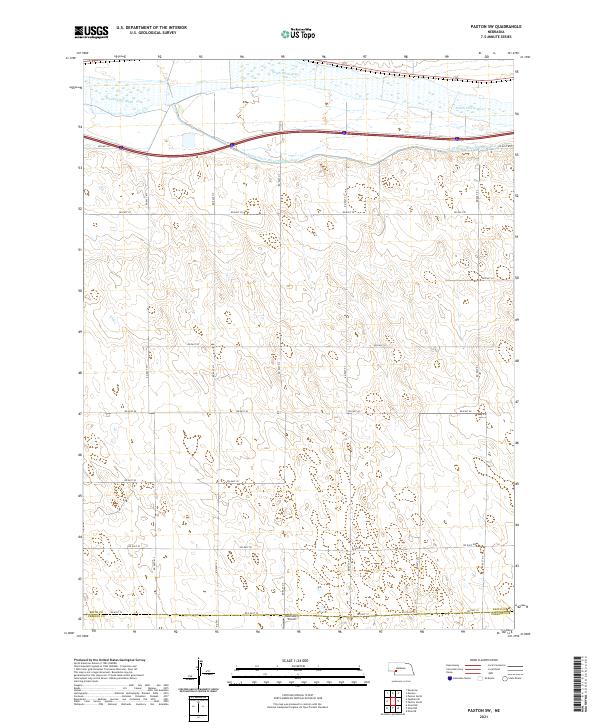
2021 Paxton SW
Keith County, NE