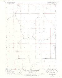
1971 Map of Packard Ranch
USGS Topo · Published 1973About this map
Thoelecke Valley and Wildhorse Valley dominate this early 1970s view of the Nebraska Sandhills, where family ranching legacy is etched into the landscape. The sheet centers on the Packard Ranch, featuring a private Landing Strip that highlights the vast distances of the High Plains. Education in this remote corner of Arthur County is represented by School No 4, a solitary landmark in a region defined by scattered homesteads.
Find a feature on this map
15 named features on this map. Tap any name to fly to it.
Don’t see what you’re looking for? This feature index may not catch every label — zoom into the map to look around manually.
Map Details
Editions of this 1971 Packard Ranch Map
2 editions found
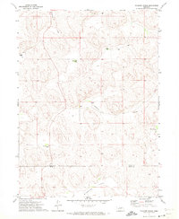
Other maps of this area

1897 · Ogallala
USGS Topo · 1:125,000

1900 · Ogallala
USGS Topo · 1:125,000

1949 · Arthur
USGS Topo · 1:62,500

1950 · Velma
USGS Topo · 1:62,500

1950 · Arthur
USGS Topo · 1:62,500

1954 · North Platte
USGS Topo · 1:250,000

1956 · North Platte
USGS Topo · 1:250,000

1957 · North Platte
USGS Topo · 1:250,000

1967 · North Platte
USGS Topo · 1:250,000

1971 · Martin
USGS Topo · 1:24,000