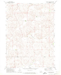
1971 Map of Packard Ranch
USGS Topo · Published 1973About this map
The Nebraska Sandhills define the landscape of this 1971 survey, showing a remote ranching territory at the boundary of Arthur and Keith Counties. Large family holdings are the primary mark of human activity across the undulating terrain, including the centrally located Packard Ranch and the Erie Corfield Ranch further east. These properties are often oriented around distinct geographic features like Thoelecke Valley and Wildhorse Valley, where the land descends from the surrounding dunes.
Find a feature on this map
15 named features on this map. Tap any name to fly to it.
Don’t see what you’re looking for? This feature index may not catch every label — zoom into the map to look around manually.
Map Details
Editions of this 1971 Packard Ranch Map
2 editions found
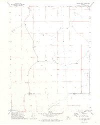
Other maps of this area

1897 · Ogallala
USGS Topo · 1:125,000

1900 · Ogallala
USGS Topo · 1:125,000

1949 · Arthur
USGS Topo · 1:62,500

1950 · Velma
USGS Topo · 1:62,500

1950 · Arthur
USGS Topo · 1:62,500

1954 · North Platte
USGS Topo · 1:250,000

1956 · North Platte
USGS Topo · 1:250,000

1957 · North Platte
USGS Topo · 1:250,000

1967 · North Platte
USGS Topo · 1:250,000

1971 · Martin
USGS Topo · 1:24,000