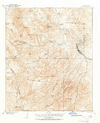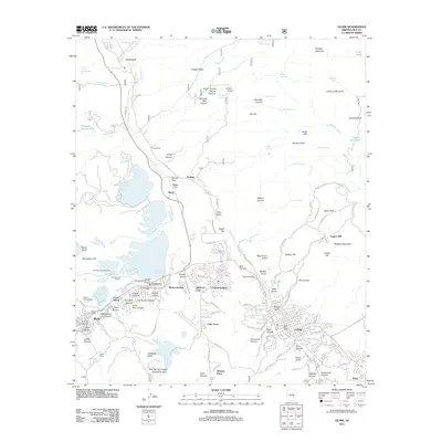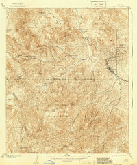
1902 Map of Globe
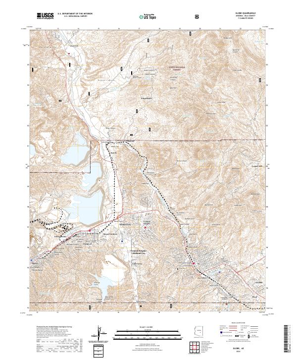
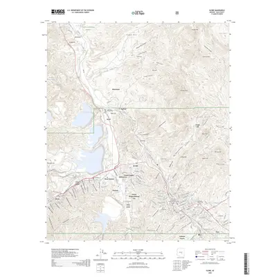
USGS Topo · Published 1940About this map
The rugged copper-bearing mountains of central Arizona dominate this survey, centered on the emerging industrial hub of Globe. Conducted at the start of the 20th century, the map documents a landscape defined by intensive mining operations and dispersed cattle ranching. The concentration of workings northeast of the town site—including the Old Dominion Mine, Copper Hill Mine, and Grey Mine—marks the early prosperity of the Globe mining district. Further west, the expanse of Miami Flat and the Black Warrior mine point toward the future development of the Miami area.
Find a feature on this map
56 named features on this map. Tap any name to fly to it.
Don’t see what you’re looking for? This feature index may not catch every label — zoom into the map to look around manually.
Map Details
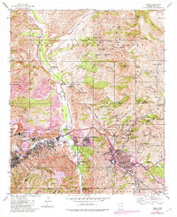
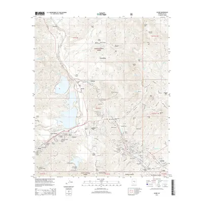
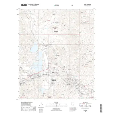
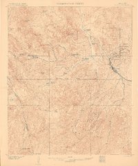
Editions of this 1902 Globe Map
3 editions found
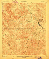
Historical Maps of Globe Through Time
10 maps found