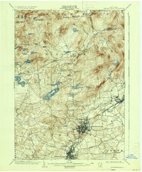
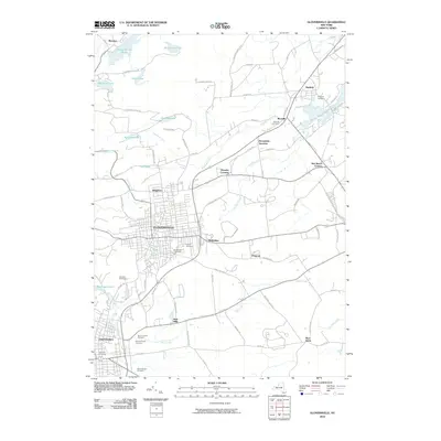
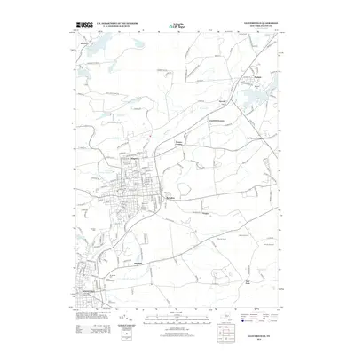
1903 Map of Gloversville
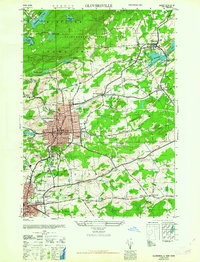
USGS Topo · Published 1946About this map
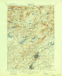
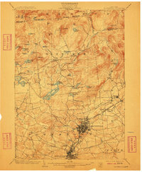
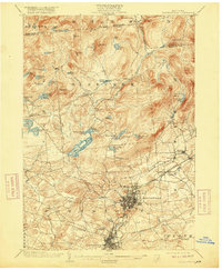
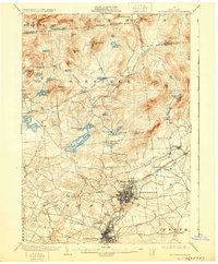
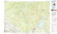
Industrial hubs Gloversville and Johnstown anchor the southern portion of this region, showing a dense network of streets and rail lines at the turn of the century. The F. J. and G. R. R. and the Electric R. R. connect these manufacturing centers to the surrounding countryside, passing through Kingsboro and Riceville. To the north, the landscape shifts dramatically into the high Adirondack foothills, where the towns of Bleecker and Arietta are defined by numerous water bodies like Canada Lake, Peck Lake, and Caroga Lake. A significant historical landmark, the Battle Monument, sits just south of Johnstown, marking the area's Revolutionary War heritage. The map also captures the Sacandaga Reservoir and the Gloversville and Broadalbin Road, reflecting the early 20th-century infrastructure that supported the region's leather and glove-making industries.
Find a feature on this map
69 named features on this map. Tap any name to fly to it.
Don’t see what you’re looking for? This feature index may not catch every label — zoom into the map to look around manually.
Map Details
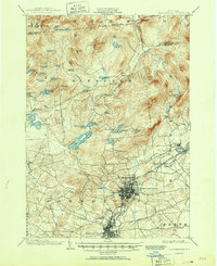
Editions of this 1903 Gloversville Map
8 editions found


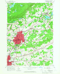
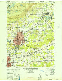
Historical Maps of Gloversville Through Time
12 maps found
1903 Gloversville
Fulton County, NY

1943 Gloversville
Fulton County, NY
1945 Gloversville
Fulton County, NY
1946 Gloversville
Fulton County, NY
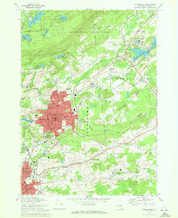
1963 Gloversville
Fulton County, NY
1970 Gloversville
Fulton County, NY
1985 Gloversville
Fulton County, NY
2010 Gloversville
Fulton County, NY
2013 Gloversville
Fulton County, NY
2016 Gloversville
Fulton County, NY
2019 Gloversville
Fulton County, NY

2023 Gloversville
Fulton County, NY