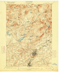
1903 Map of Gloversville
USGS Topo · Published 1918About this map
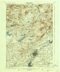
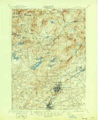
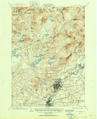
The industrial core of Fulton County at the turn of the century is anchored by the dense street grids of Gloversville and Johnstown. This area, renowned for leather production, is shown here during a period of high connectivity, with the F. J. and G. R. R. and the Electric R. R. stitching together local labor and materials. To the north, the terrain rises sharply into the Adirondack foothills, where small settlements like Bleecker and Benson Center provide a stark contrast to the manufacturing centers below.
Find a feature on this map
65 named features on this map. Tap any name to fly to it.
Don’t see what you’re looking for? This feature index may not catch every label — zoom into the map to look around manually.
Map Details
Editions of this 1903 Gloversville Map
8 editions found

Other maps of this area

1895 · Amsterdam
USGS Topo · 1:62,500

1896 · Fonda
USGS Topo · 1:62,500

1898 · Fonda
USGS Topo · 1:62,500

1898 · Canajoharie
USGS Topo · 1:62,500

1899 · Broadalbin
USGS Topo · 1:62,500

1900 · Canajoharie
USGS Topo · 1:62,500

1901 · Lassellsville
USGS Topo · 1:62,500

1902 · Broadalbin
USGS Topo · 1:62,500

1902 · Canajoharie
USGS Topo · 1:62,500

1902 · Fonda
USGS Topo · 1:62,500