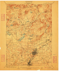
1903 Map of Gloversville
USGS Topo · Published 1910About this map
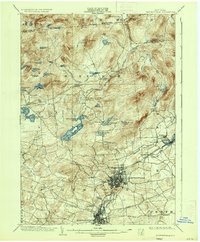
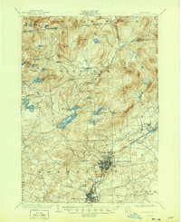
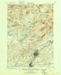
Gloversville and Johnstown serve as the industrial anchors of this early 20th-century landscape, connected by a complex network of transportation including the Electric R. R. and the F. J. and G. R. R.. While the southern portion of the sheet reflects the dense development of Fulton County's manufacturing centers, the northern terrain rises into the southern Adirondack foothills. This upland area is defined by a dense concentration of water bodies such as Canada Lake, Holmes Lake, and the curiously named Helen Gould Lake. Local history is marked by the Battle Monument south of the city centers, while smaller settlements like Bleecker Center, Meco, and Mayfield illustrate the transition from urban industry to rural township life. The map captures a moment when the rail-and-river economy was at its peak, visible in the junction at Broadalbin Junc. and the numerous named mountain peaks like Panther Mt. and Shaker Mt. that frame the northern horizon.
Find a feature on this map
68 named features on this map. Tap any name to fly to it.
Don’t see what you’re looking for? This feature index may not catch every label — zoom into the map to look around manually.
Map Details
Editions of this 1903 Gloversville Map
8 editions found

Other maps of this area

1895 · Amsterdam
USGS Topo · 1:62,500

1896 · Fonda
USGS Topo · 1:62,500

1898 · Fonda
USGS Topo · 1:62,500

1898 · Canajoharie
USGS Topo · 1:62,500

1899 · Broadalbin
USGS Topo · 1:62,500

1900 · Canajoharie
USGS Topo · 1:62,500

1901 · Lassellsville
USGS Topo · 1:62,500

1902 · Broadalbin
USGS Topo · 1:62,500

1902 · Canajoharie
USGS Topo · 1:62,500

1902 · Fonda
USGS Topo · 1:62,500