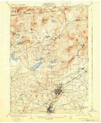
1903 Map of Gloversville
USGS Topo · Published 1928About this map
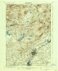
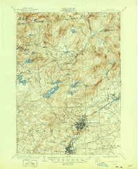
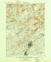
The industrial centers of Gloversville and Johnstown dominate the southern portion of this survey, shown at a time when leather manufacturing and textile trade fueled the local economy. A complex network of transit lines, including the Electric R. R. and the F. J. and G. R. R., connects these urban hubs to outlying areas like Kingsboro and Mayfield. This rail infrastructure highlights the region's importance as a commercial corridor between the Mohawk Valley and the southern Adirondack foothills.
Find a feature on this map
68 named features on this map. Tap any name to fly to it.
Don’t see what you’re looking for? This feature index may not catch every label — zoom into the map to look around manually.
Map Details
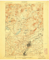
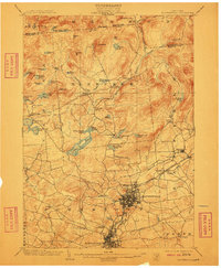
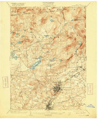
Editions of this 1903 Gloversville Map
8 editions found

Other maps of this area

1895 · Amsterdam
USGS Topo · 1:62,500

1896 · Fonda
USGS Topo · 1:62,500

1898 · Fonda
USGS Topo · 1:62,500

1898 · Canajoharie
USGS Topo · 1:62,500

1899 · Broadalbin
USGS Topo · 1:62,500

1900 · Canajoharie
USGS Topo · 1:62,500

1901 · Lassellsville
USGS Topo · 1:62,500

1902 · Broadalbin
USGS Topo · 1:62,500

1902 · Canajoharie
USGS Topo · 1:62,500

1902 · Fonda
USGS Topo · 1:62,500