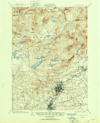
1903 Map of Gloversville
USGS Topo · Published 1951About this map
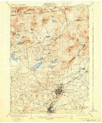
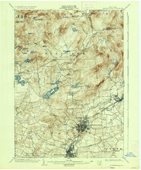
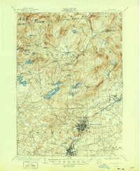
Gloversville and Johnstown serve as the industrial anchors of this early 20th-century landscape, connected by the extensive tracks of the Fonda Johnstown and Gloversville R. R. and the Electric R. R.. The map reveals the intricate urban grid of these manufacturing centers, with the Battle Monument standing at the southern edge of Johnstown. To the north, the terrain transitions into the high Adirondack foothills, where the settlement pattern shifts from dense city blocks to isolated hamlets like Bleecker and Bleecker Center. This area is characterized by a high density of water bodies, including Peck Lake, Canada Lake, and the nascent Sacandaga Reservoir. Notable for genealogists are the numerous small crossroads such as Lindsley Corners and Peters Corners, which denote the family-centric rural clusters of the era before the widespread adoption of modern highways.
Find a feature on this map
69 named features on this map. Tap any name to fly to it.
Don’t see what you’re looking for? This feature index may not catch every label — zoom into the map to look around manually.
Map Details
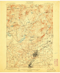
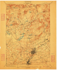
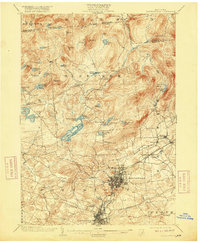
Editions of this 1903 Gloversville Map
8 editions found

Other maps of this area

1895 · Amsterdam
USGS Topo · 1:62,500

1896 · Fonda
USGS Topo · 1:62,500

1898 · Fonda
USGS Topo · 1:62,500

1898 · Canajoharie
USGS Topo · 1:62,500

1899 · Broadalbin
USGS Topo · 1:62,500

1900 · Canajoharie
USGS Topo · 1:62,500

1901 · Lassellsville
USGS Topo · 1:62,500

1902 · Broadalbin
USGS Topo · 1:62,500

1902 · Canajoharie
USGS Topo · 1:62,500

1902 · Fonda
USGS Topo · 1:62,500