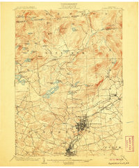
1903 Map of Gloversville
USGS Topo · Published 1906About this map
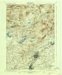
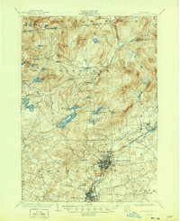
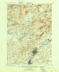
Industrial Gloversville and Johnstown anchor the southern portion of this Adirondack foothills survey, showing the dense urban grids of the glove-making capital at the start of the twentieth century. The landscape to the north is defined by the high peaks of the southern mountains, including Panther Mt. and Shaker Mt., and an intricate network of lakes such as Canada Lake and Helen Gould Lake. Transportation infrastructure is highly developed for the era, featuring the F. J. and G. R. R. and a dedicated Electric R. R. connecting the primary settlements. A Battle Monument stands south of Johnstown, marking the local historical significance of the region. Moving toward the northern boundary with Hamilton County, the terrain becomes increasingly complex with narrow valleys and high ridges like the Hogback and Jackson Summit.
Find a feature on this map
67 named features on this map. Tap any name to fly to it.
Don’t see what you’re looking for? This feature index may not catch every label — zoom into the map to look around manually.
Map Details
Editions of this 1903 Gloversville Map
8 editions found

Other maps of this area

1895 · Amsterdam
USGS Topo · 1:62,500

1896 · Fonda
USGS Topo · 1:62,500

1898 · Fonda
USGS Topo · 1:62,500

1898 · Canajoharie
USGS Topo · 1:62,500

1899 · Broadalbin
USGS Topo · 1:62,500

1900 · Canajoharie
USGS Topo · 1:62,500

1901 · Lassellsville
USGS Topo · 1:62,500

1902 · Broadalbin
USGS Topo · 1:62,500

1902 · Canajoharie
USGS Topo · 1:62,500

1902 · Fonda
USGS Topo · 1:62,500