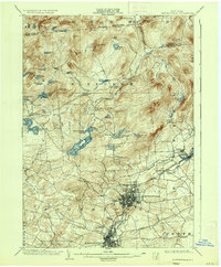
1903 Map of Gloversville
USGS Topo · Published 1936About this map
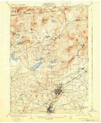
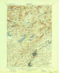
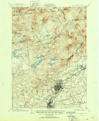
Gloversville serves as the industrial and urban hub of this Fulton County region at the dawn of the twentieth century, appearing as a dense grid of streets connected by a robust transit network. The Johnstown Gloversville and Kingsboro R.R. and an Electric R.R. link the city to outlying neighborhoods like Kingsboro and Riceville. Northward, the landscape shifts dramatically into the southern Adirondacks, where the townships of Bleecker and Caroga are defined by a high density of water bodies, including Peck Lake and Canada Lake. The presence of the Sacandaga Reservoir at the eastern edge and the Battle Monument to the south provides significant landmarks for local historians. Scattered smaller settlements like Kecks Center and Benson Center illustrate the rural character of the hill country before later development altered these remote upland communities.
Find a feature on this map
66 named features on this map. Tap any name to fly to it.
Don’t see what you’re looking for? This feature index may not catch every label — zoom into the map to look around manually.
Map Details
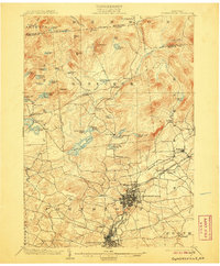
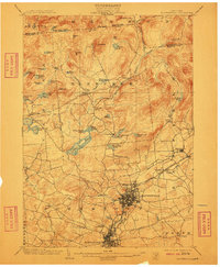
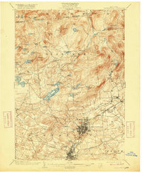
Editions of this 1903 Gloversville Map
8 editions found

Other maps of this area

1895 · Amsterdam
USGS Topo · 1:62,500

1896 · Fonda
USGS Topo · 1:62,500

1898 · Fonda
USGS Topo · 1:62,500

1898 · Canajoharie
USGS Topo · 1:62,500

1899 · Broadalbin
USGS Topo · 1:62,500

1900 · Canajoharie
USGS Topo · 1:62,500

1901 · Lassellsville
USGS Topo · 1:62,500

1902 · Broadalbin
USGS Topo · 1:62,500

1902 · Canajoharie
USGS Topo · 1:62,500

1902 · Fonda
USGS Topo · 1:62,500