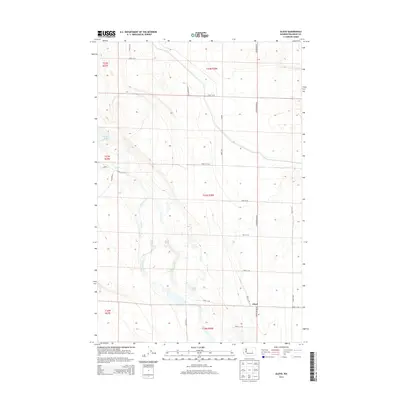
2014 Map of Gloyd
USGS Topo · Published 2014About this map
Gloyd marks the primary point of settlement in this part of Grant County, situated at a junction where local commerce and rural infrastructure met. The landscape is defined by the wandering path of Crab Creek, which carves through the basalt-heavy terrain of the Columbia Basin. Notable water bodies such as S Willow Lake, Lake Lyon, and Glyn Lake are scattered across the quadrangle, illustrating the complex hydrology of this arid region. The map reveals a structured grid of roads, including Stratford Rd NE and Road 12 NE, which connect the scattered agricultural tracts and water sources. This 2014 survey documents the persistence of the Public Land Survey System, showing clearly defined township and range lines like t21n r28e that organize the vast open spaces between the occasional lakes and seasonal creek beds.
Find a feature on this map
30 named features on this map. Tap any name to fly to it.
Don’t see what you’re looking for? This feature index may not catch every label — zoom into the map to look around manually.
Map Details
Editions of this 2014 Gloyd Map
This is the sole edition of this map. No revisions or reprints were ever made.
Other maps of this area
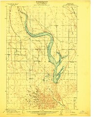
1912 · Moses Lake
USGS Topo · 1:62,500
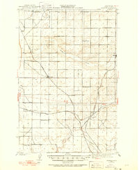
1923 · Wheeler
USGS Topo · 1:62,500
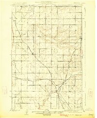
1925 · Wheeler
USGS Topo · 1:62,500
1953 · Ritzville
USGS Topo · 1:250,000
1956 · Wheeler
USGS Topo · 1:24,000
1956 · Stratford
USGS Topo · 1:24,000
1956 · Grant Orchards
USGS Topo · 1:24,000
1956 · Moses Lake North
USGS Topo · 1:24,000
1956 · Gloyd
USGS Topo · 1:24,000
1956 · Wilson Creek SW
USGS Topo · 1:24,000