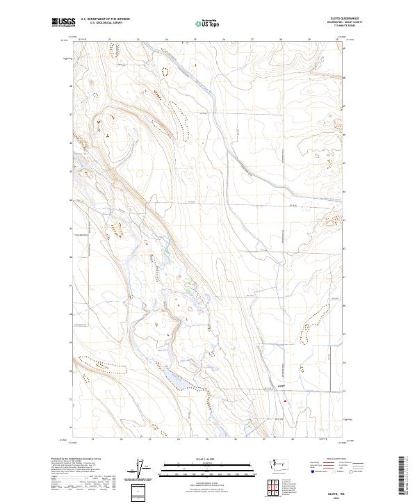
2023 Map of Gloyd
USGS Topo · Published 2023About this map
Gloyd sits at a critical intersection of water management and natural drainage in the heart of Grant County. The landscape is defined by the East Low Canal, a massive engineering feat of the Columbia Basin Project, which carves across the northern and eastern reaches of the sheet alongside E Low Canal RD NE. This artificial waterway contrasts with the meandering path of Crab Creek, which flows through the center of the quadrangle, feeding into a series of interconnected wetlands and water bodies such as Lake Lyon, Glyn Lake, and Willow Lake. The infrastructure here, including Stratford Rd NE and Eastside Rd NE, reveals a highly organized township and range system typical of eastern Washington's agricultural interior. This map captures the modern balance between the high-desert riparian corridor of the creek and the intensive irrigation network that sustains the surrounding region.
Find a feature on this map
32 named features on this map. Tap any name to fly to it.
Don’t see what you’re looking for? This feature index may not catch every label — zoom into the map to look around manually.
Map Details
Editions of this 2023 Gloyd Map
This is the sole edition of this map. No revisions or reprints were ever made.
Other maps of this area

1912 · Moses Lake
USGS Topo · 1:62,500

1923 · Wheeler
USGS Topo · 1:62,500

1925 · Wheeler
USGS Topo · 1:62,500

1953 · Ritzville
USGS Topo · 1:250,000

1956 · Wheeler
USGS Topo · 1:24,000

1956 · Stratford
USGS Topo · 1:24,000

1956 · Grant Orchards
USGS Topo · 1:24,000

1956 · Moses Lake North
USGS Topo · 1:24,000

1956 · Gloyd
USGS Topo · 1:24,000

1956 · Wilson Creek SW
USGS Topo · 1:24,000