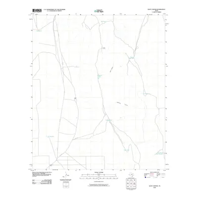
2010 Map of Goat Canyon
USGS Topo · Published 2010About this map
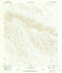
Munn Ranch and Jones Ranch anchor this arid Trans-Pecos landscape, where survival is dictated by the strategic placement of water tanks and the deep seasonal drainages of Goat Canyon. The map reveals a specialized ranching economy reliant on artificial catchments like Five Point Tank, Threemile Tank, and the distant Jog Section Tank Number 4. Access is limited to the secondary arterial of FM 2185 and private spurs such as Jones Spr and Apache Rd, reflecting the remote nature of Culberson County operations. The terrain is marked by the significant incisions of Hackberry Canyon, highlighting the complex topography that defines western Texas ranch lands. Historical researchers and land managers can trace the boundaries of legacy holdings including the Stansberry Ranch as they existed in the early twenty-first century.
Find a feature on this map
17 named features on this map. Tap any name to fly to it.
Don’t see what you’re looking for? This feature index may not catch every label — zoom into the map to look around manually.
Map Details
Editions of this 2010 Goat Canyon Map
This is the sole edition of this map. No revisions or reprints were ever made.
Other maps of this area

1906 · Van Horn
USGS Topo · 1:125,000

1928 · Kent
USGS Topo · 1:125,000

1954 · Van Horn
USGS Topo · 1:250,000

1958 · Van Horn
USGS Topo · 1:250,000
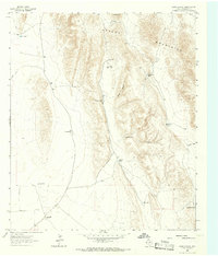
1964 · Goat Canyon
USGS Topo · 1:24,000

1964 · Wild Horse
USGS Topo · 1:24,000

1964 · Watson Ranch
USGS Topo · 1:24,000
1964 · Plateau
USGS Topo · 1:24,000
1970 · Boracho
USGS Topo · 1:24,000
1970 · East Hunter Canyon
USGS Topo · 1:24,000