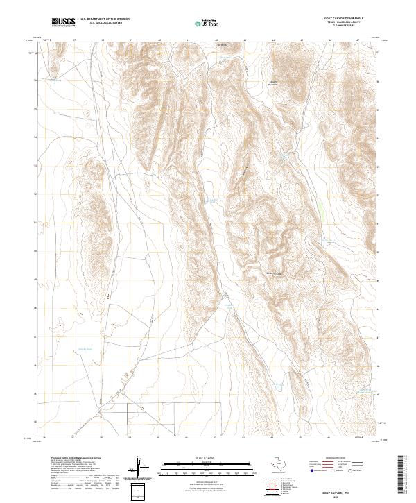
2022 Map of Goat Canyon
USGS Topo · Published 2022About this map
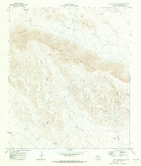
The Apache Mountains dominate this high-desert landscape in west Texas, rising above a network of deep drainage cuts like Goat Canyon and Hackberry Canyon. At the northern edge of the range stands the prominent peak of Old Baldy, overlooking a terrain where water management is the primary sign of human activity. The map reveals a sophisticated system of livestock water catchments scattered across the flats and foothills, including Bull Tank, Threemile Tank, and North Tank. These features, along with Jog Section Tank Number 4, highlight the ranching infrastructure necessary to sustain life in this arid environment. Transportation through the area is facilitated by Fm 2185 and Apache Rd, which provide access to this isolated portion of Culberson County where the natural topography dictates the movement of both people and livestock.
Find a feature on this map
16 named features on this map. Tap any name to fly to it.
Don’t see what you’re looking for? This feature index may not catch every label — zoom into the map to look around manually.
Map Details
Editions of this 2022 Goat Canyon Map
This is the sole edition of this map. No revisions or reprints were ever made.
Other maps of this area

1906 · Van Horn
USGS Topo · 1:125,000

1928 · Kent
USGS Topo · 1:125,000

1954 · Van Horn
USGS Topo · 1:250,000

1958 · Van Horn
USGS Topo · 1:250,000
1964 · Goat Canyon
USGS Topo · 1:24,000

1964 · Wild Horse
USGS Topo · 1:24,000

1964 · Watson Ranch
USGS Topo · 1:24,000
1964 · Plateau
USGS Topo · 1:24,000
1970 · Boracho
USGS Topo · 1:24,000
1970 · East Hunter Canyon
USGS Topo · 1:24,000