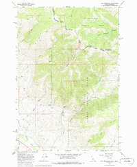
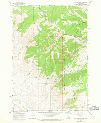
1965 Map of Goat Mountain
USGS Topo · Published 1986About this map
Goat Mountain stands as a prominent landmark along the Continental Divide, marking the boundary between Beaverhead and Lemhi counties and the state line between Idaho and Montana. This high-altitude landscape is defined by the intersection of the Beaverhead National Forest and Salmon National Forest, where a network of trails and jeep paths provides the only access to remote drainage systems like Black Canyon and Bear Creek.
Find a feature on this map
29 named features on this map. Tap any name to fly to it.
Don’t see what you’re looking for? This feature index may not catch every label — zoom into the map to look around manually.
Map Details
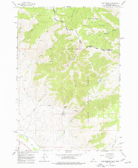
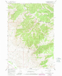
Editions of this 1965 Goat Mountain Map
4 editions found
Other maps of this area

1955 · Dubois
USGS Topo · 1:250,000

1956 · Leadore
USGS Topo · 1:62,500

1956 · Patterson
USGS Topo · 1:62,500

1956 · Lemhi
USGS Topo · 1:62,500

1958 · Dubois
USGS Topo · 1:250,000

1965 · Lemhi Pass
USGS Topo · 1:24,000
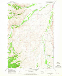
1965 · Everson Creek
USGS Topo · 1:24,000

1965 · Bannock Pass
USGS Topo · 1:24,000
1965 · Goat Mountain
USGS Topo · 1:24,000

1980 · Leadore
USGS Topo · 1:100,000