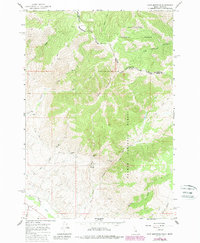
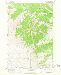
1965 Map of Goat Mountain
USGS Topo · Published 1989About this map
The Continental Divide crests along this high-elevation terrain on the border of Idaho and Montana, marking a dramatic topographic boundary between Beaverhead National Forest and Salmon National Forest. Mining activity is a defining characteristic of this landscape, with several named operations such as the Buckhorn Mine, Maryland Mine, and Commodore Mine situated along the slopes of Goat Mountain. These sites, along with numerous unnamed Prospects, suggest a period of focused mineral exploration in the mid-20th century.
Find a feature on this map
28 named features on this map. Tap any name to fly to it.
Don’t see what you’re looking for? This feature index may not catch every label — zoom into the map to look around manually.
Map Details
Editions of this 1965 Goat Mountain Map
4 editions found
Other maps of this area

1955 · Dubois
USGS Topo · 1:250,000

1956 · Leadore
USGS Topo · 1:62,500

1956 · Patterson
USGS Topo · 1:62,500

1956 · Lemhi
USGS Topo · 1:62,500

1958 · Dubois
USGS Topo · 1:250,000

1965 · Lemhi Pass
USGS Topo · 1:24,000
1965 · Everson Creek
USGS Topo · 1:24,000

1965 · Bannock Pass
USGS Topo · 1:24,000
1965 · Goat Mountain
USGS Topo · 1:24,000

1980 · Leadore
USGS Topo · 1:100,000