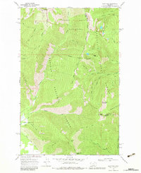
1966 Map of Goat Peak
USGS Topo · Published 1983About this map
The Cabinet Mountains define the high-elevation terrain of this mid-1960s survey, straddling the county line between Lincoln and Sanders County. This landscape is dominated by the Cabinet Mountains Wilderness, where high summits like Goat Peak and Silver Butte Mountain rise above a network of drainages and glacial lakes. The map documents a primitive transportation network consisting almost entirely of pack trails, including the Goat Ridge Trail and McKay Creek Trail, which navigate the steep ridges and creek bottoms.
Find a feature on this map
42 named features on this map. Tap any name to fly to it.
Don’t see what you’re looking for? This feature index may not catch every label — zoom into the map to look around manually.
Map Details
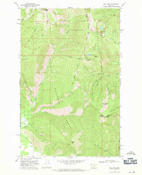
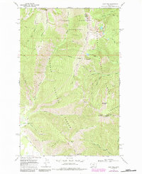
Editions of this 1966 Goat Peak Map
3 editions found
Other maps of this area

1920 · Libby
USGS Topo · 1:125,000

1920 · Jennings
USGS Topo · 1:125,000

1930 · Libby
USGS Topo · 1:125,000

1932 · Libby
USGS Topo · 1:125,000

1932 · Trout Creek
USGS Topo · 1:125,000

1935 · Thompson Lakes
USGS Topo · 1:96,000

1935 · Trout Creek
USGS Topo · 1:125,000

1936 · Trout Creek
USGS Topo · 1:125,000

1937 · Thompson Falls
USGS Topo · 1:125,000

1942 · Thompson Lakes
USGS Topo · 1:125,000