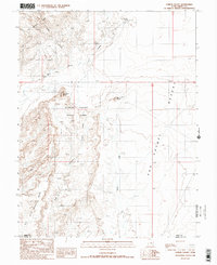
1988 Map of Goblin Valley
USGS Topo · Published 1988About this map
Goblin Valley State Park defines this landscape on the border of Emery and Wayne counties, where the high desert meets a series of dramatic geological formations. The survey, compiled from early 1980s aerial photography, documents the transition from the jagged San Rafael Reef in the northwest to the expansive San Rafael Desert in the east. Hydrological features such as Wild Horse Creek and the long Draw demonstrate the seasonal drainage patterns typical of the region. Notable landmarks including Wild Horse Butte and Mollys Castle stand as prominent navigational points amidst the complex topography. The map also records the location of Buckskin Spring and various wells, which were vital water sources for any activity in this arid portion of the San Rafael Swell.
Find a feature on this map
14 named features on this map. Tap any name to fly to it.
Don’t see what you’re looking for? This feature index may not catch every label — zoom into the map to look around manually.
Map Details
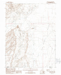
Editions of this 1988 Goblin Valley Map
2 editions found
Other maps of this area

1885 · San Rafael
USGS Topo · 1:250,000

1952 · Wild Horse
USGS Topo · 1:62,500

1953 · Temple Mtn
USGS Topo · 1:62,500

1954 · Stinking Springs Creek 4 SW
USGS Topo · 1:24,000

1954 · Stinking Spring Creek 3 SE
USGS Topo · 1:24,000

1954 · Stinking Spring Creek 4 NE
USGS Topo · 1:24,000

1954 · Stinking Spring Creek 4 NW
USGS Topo · 1:24,000

1954 · Stinking Spring Creek 4 SE
USGS Topo · 1:24,000
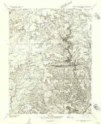
1954 · Stinking Spring Creek 3 NE
USGS Topo · 1:24,000

1954 · Mt. Ellen 1 NW
USGS Topo · 1:24,000