
1967 Map of Godahl
USGS Topo · Published 1968About this map
The North Fork Watonwan River and the main Watonwan River converge amidst a landscape defined by prairie wetlands and agricultural drainage in the late 1960s. The area straddles the Brown and Watonwan County line, where small Lutheran communities like Godahl and Sveadahl serve as local anchors. The map documents an era of active conservation and land management, highlighted by the Mulligan State Wildlife Management Area and Voss State Wildlife Management Area. Cultural landmarks such as Albion Ch and East Sveadahl Ch indicate the locations of rural congregations. The presence of Judicial Ditch No 5 and Co Ditch No 4 reflects the extensive hydrological engineering required to maintain the surrounding farmland between Butterfield Lake and Cottonwood Lake.
Find a feature on this map
24 named features on this map. Tap any name to fly to it.
Don’t see what you’re looking for? This feature index may not catch every label — zoom into the map to look around manually.
Map Details
Editions of this 1967 Godahl Map
This is the sole edition of this map. No revisions or reprints were ever made.
Other maps of this area

1953 · New Ulm
USGS Topo · 1:250,000

1954 · Fairmont
USGS Topo · 1:250,000

1957 · New Ulm
USGS Topo · 1:250,000

1958 · New Ulm
USGS Topo · 1:250,000

1958 · Fairmont
USGS Topo · 1:250,000

1967 · New Ulm
USGS Topo · 1:250,000

1967 · Lake Hanska West
USGS Topo · 1:24,000

1967 · Darfur
USGS Topo · 1:24,000
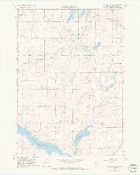
1967 · Lake Hanska East
USGS Topo · 1:24,000
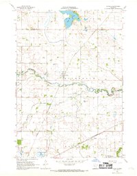
1967 · La Salle
USGS Topo · 1:24,000