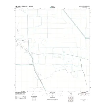
2012 Map of Goddens Strand
USGS Topo · Published 2012About this map
Browns Indian Trading Post sits near the heart of this Florida interior, a landscape defined by an extensive network of water management and remote access roads. The terrain is dominated by the sprawling wetlands of the Big Cypress National Preserve and the cypress-heavy environment of Goddens Strand. Engineered water features, including the N Feeder Canal, W Feeder Canal, and the Interceptor Canal, illustrate the intensive hydrological modifications required to manage this region's flow. Aviation and transit are represented by the Big Cypress Airfield and a web of Bureau of Indian Affairs routes like BIA Hwy 1280 and BIA Hwy 1286, connecting isolated settlements and outpost markers across the wetlands.
Find a feature on this map
13 named features on this map. Tap any name to fly to it.
Don’t see what you’re looking for? This feature index may not catch every label — zoom into the map to look around manually.
Map Details
Editions of this 2012 Goddens Strand Map
This is the sole edition of this map. No revisions or reprints were ever made.
Other maps of this area

1956 · West Palm Beach
USGS Topo · 1:250,000

1957 · West Palm Beach
USGS Topo · 1:250,000

1958 · West Palm Beach
USGS Topo · 1:250,000
1973 · Everglades 3 NE
USGS Topo · 1:24,000
1974 · Everglades 2 SW
USGS Topo · 1:24,000
1974 · Immokalee 1 SE
USGS Topo · 1:24,000
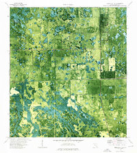
1974 · Immokalee 1 NE
USGS Topo · 1:24,000
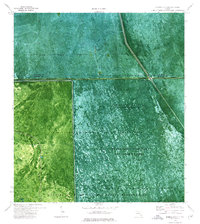
1974 · Everglades 2 SE
USGS Topo · 1:24,000
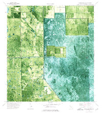
1974 · Everglades 2 NW
USGS Topo · 1:24,000
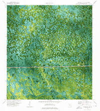
1974 · Immokalee 4 NE
USGS Topo · 1:24,000