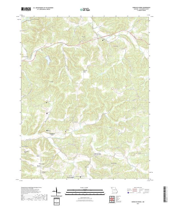
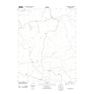
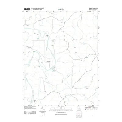
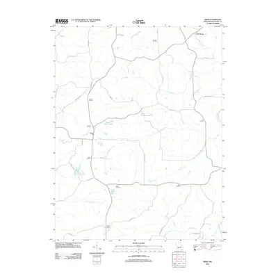
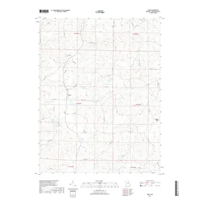
2021 Map of Goerlisch Ridge
USGS Topo · Published 2021About this map
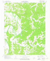
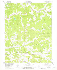
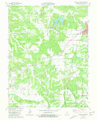
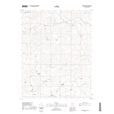
Old Woollam and New Woollam anchor this study of the interior ridges and creek valleys south of the Gasconade River in Gasconade County. The landscape is defined by its complex network of named hollows and ridges, such as Hickorynut Ridge and Sherrill Hollow, which shaped the early paths of county roads and family settlements. Genealogists will find a significant concentration of local burial grounds throughout the area, including Atkins Cem, Drusch Cem, and Jenkins Cem, often located on high ground near agricultural land.
Find a feature on this map
68 named features on this map. Tap any name to fly to it.
Don’t see what you’re looking for? This feature index may not catch every label — zoom into the map to look around manually.
Map Details
Editions of this 2021 Goerlisch Ridge Map
This is the sole edition of this map. No revisions or reprints were ever made.
Historical Maps of Cave Hill Through Time
30 maps found
1962 Redbird
Gasconade County, MO
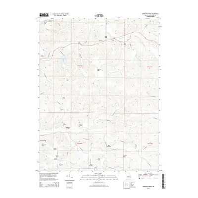
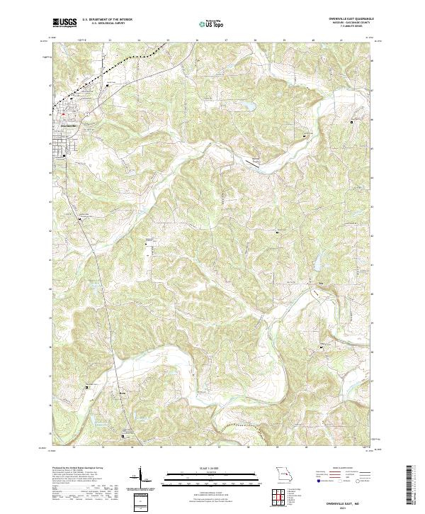
1966 Owensville East
Gasconade County, MO
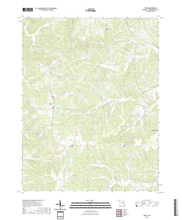
1973 Swiss
Gasconade County, MO
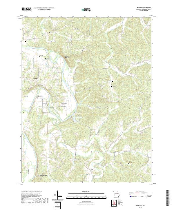
1974 Pershing
Gasconade County, MO
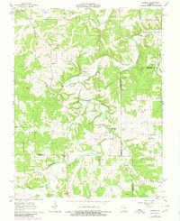
1980 Goerlisch Ridge
Gasconade County, MO
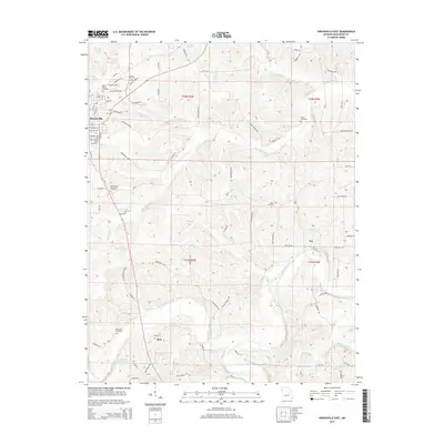
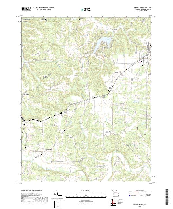
1981 Owensville West
Gasconade County, MO
2012 Goerlisch Ridge
Gasconade County, MO
2012 Owensville East
Gasconade County, MO
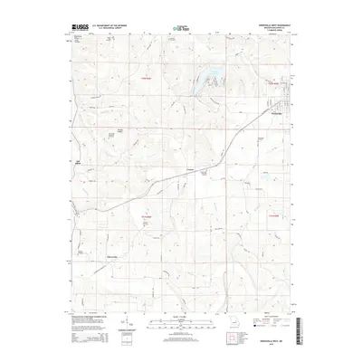
2012 Owensville West
Gasconade County, MO
2012 Pershing
Gasconade County, MO
2012 Redbird
Gasconade County, MO
2012 Swiss
Gasconade County, MO
2015 Goerlisch Ridge
Gasconade County, MO
2015 Owensville East
Gasconade County, MO
2015 Owensville West
Gasconade County, MO
2015 Pershing
Gasconade County, MO
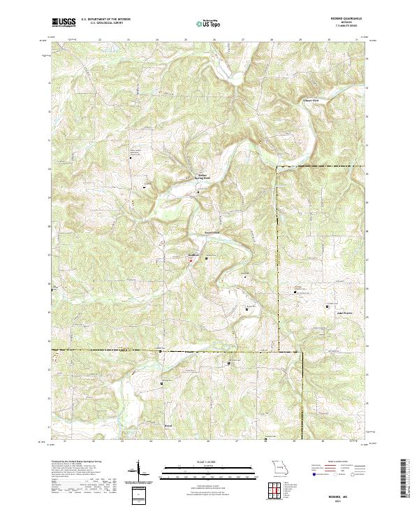
2015 Redbird
Gasconade County, MO
2015 Swiss
Gasconade County, MO
2017 Goerlisch Ridge
Gasconade County, MO
2017 Owensville East
Gasconade County, MO
2017 Owensville West
Gasconade County, MO
2017 Pershing
Gasconade County, MO
2017 Redbird
Gasconade County, MO
2017 Swiss
Gasconade County, MO
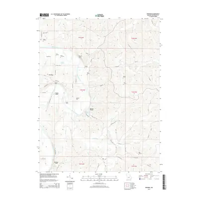
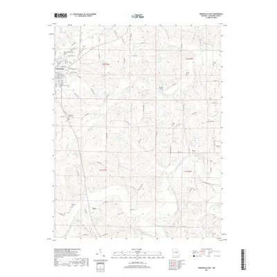
2021 Goerlisch Ridge
Gasconade County, MO
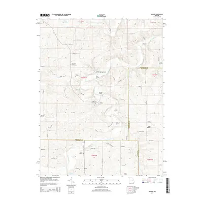
2021 Owensville East
Gasconade County, MO
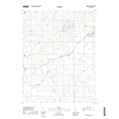
2021 Owensville West
Gasconade County, MO
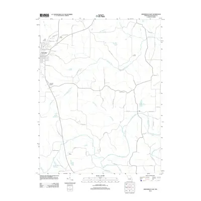
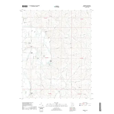
2021 Pershing
Gasconade County, MO
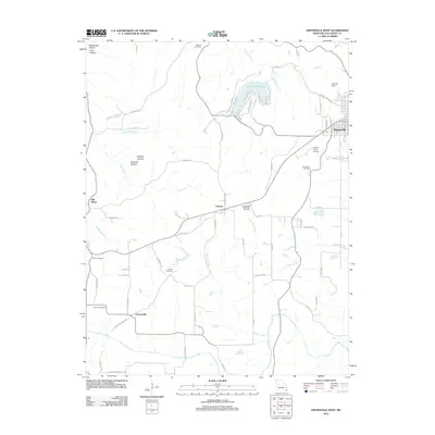
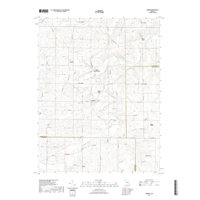
2021 Redbird
Gasconade County, MO
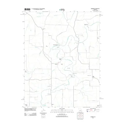
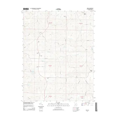
2021 Swiss
Gasconade County, MO