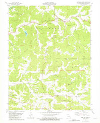
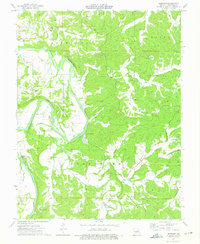
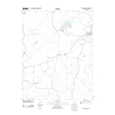
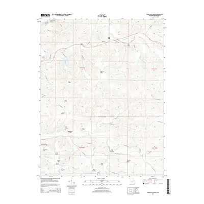
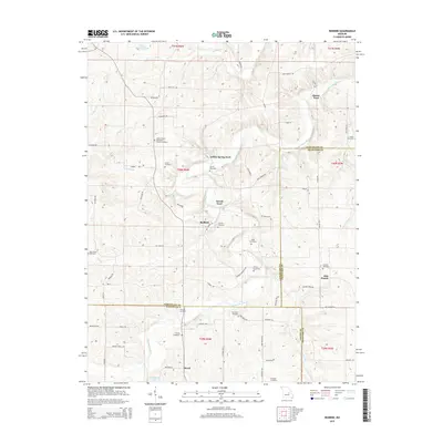
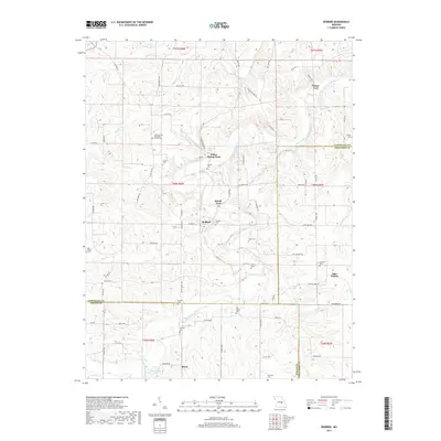
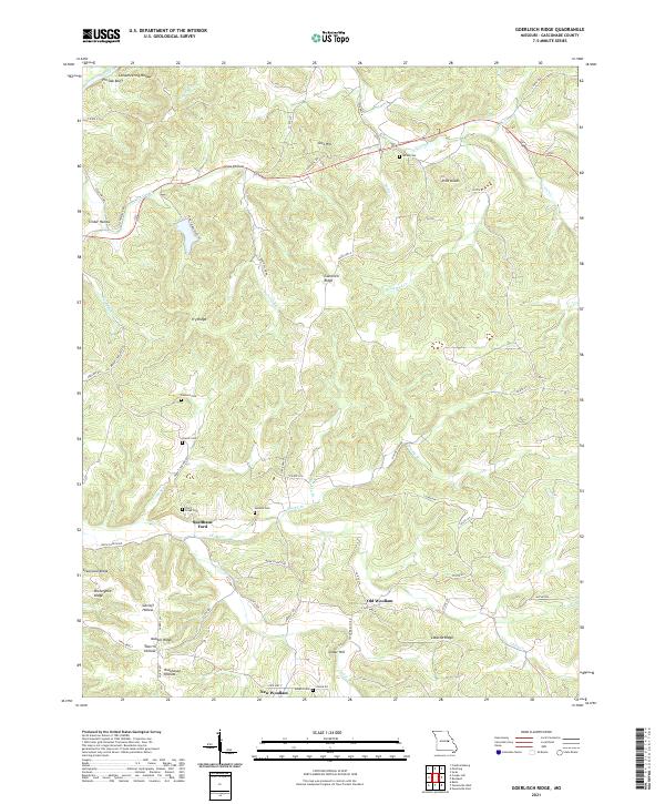
1980 Map of Goerlisch Ridge
USGS Topo · Published 1981About this map
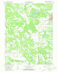
The Missouri Ozark landscape of Gasconade Co is defined by the winding drainages of Third Creek and Second Creek in this 1980 survey. The transition between Old Woollam and New Woollam highlights the shifting centers of local life, while the presence of numerous family and community burial grounds, such as Atkins Cem, Laubert Cem, and Drusch Cem, provides a clear record of 19th and 20th-century settlement patterns.
Find a feature on this map
47 named features on this map. Tap any name to fly to it.
Don’t see what you’re looking for? This feature index may not catch every label — zoom into the map to look around manually.
Map Details
Editions of this 1980 Goerlisch Ridge Map
This is the sole edition of this map. No revisions or reprints were ever made.
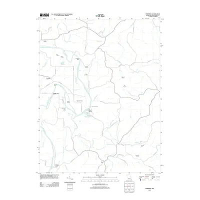
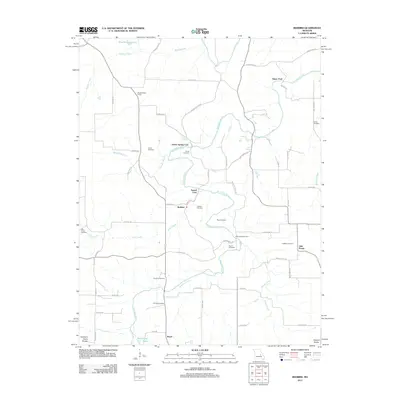
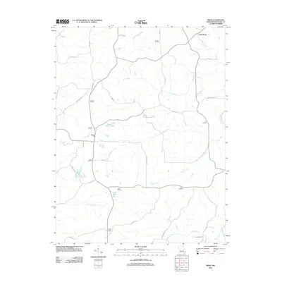
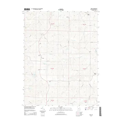
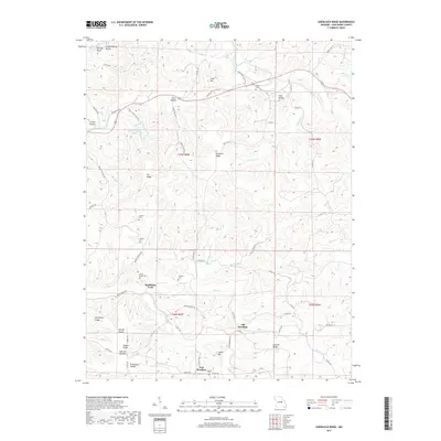
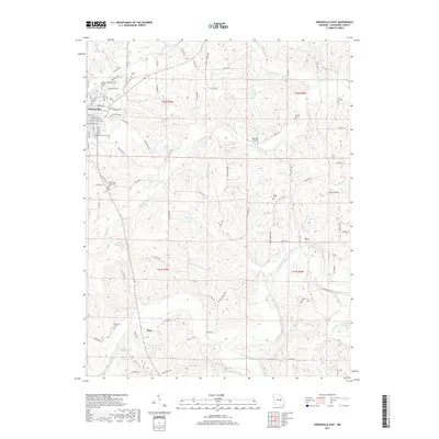
Historical Maps of Old Woollam Through Time
30 maps found
1962 Redbird
Gasconade County, MO
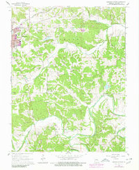
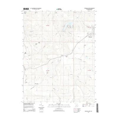
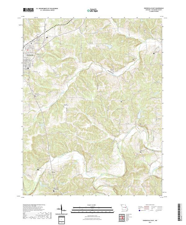
1966 Owensville East
Gasconade County, MO
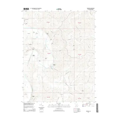
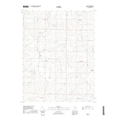
1973 Swiss
Gasconade County, MO
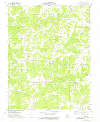
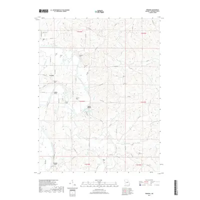
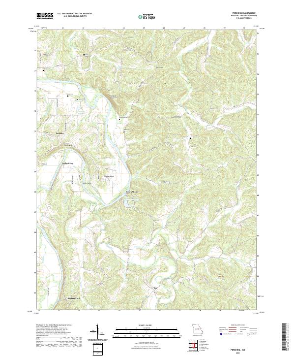
1974 Pershing
Gasconade County, MO
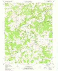
1980 Goerlisch Ridge
Gasconade County, MO
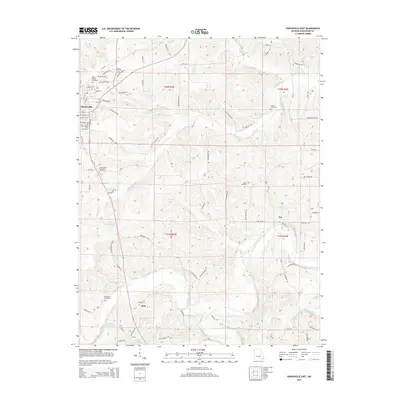
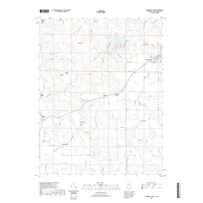
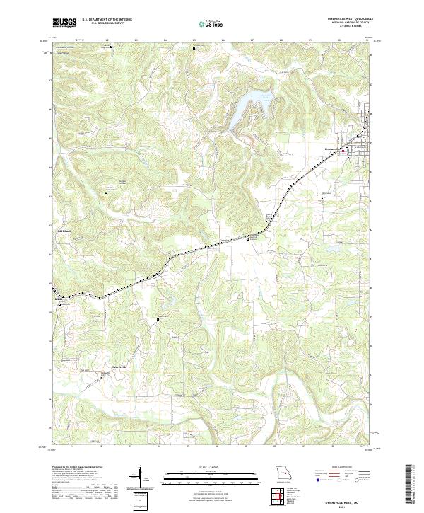
1981 Owensville West
Gasconade County, MO
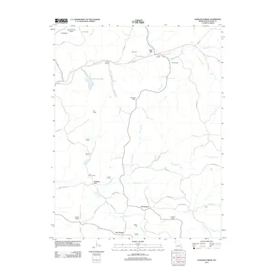
2012 Goerlisch Ridge
Gasconade County, MO
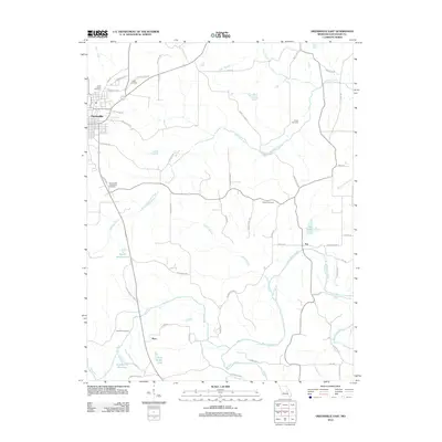
2012 Owensville East
Gasconade County, MO
2012 Owensville West
Gasconade County, MO
2012 Pershing
Gasconade County, MO
2012 Redbird
Gasconade County, MO
2012 Swiss
Gasconade County, MO
2015 Goerlisch Ridge
Gasconade County, MO
2015 Owensville East
Gasconade County, MO
2015 Owensville West
Gasconade County, MO
2015 Pershing
Gasconade County, MO
2015 Redbird
Gasconade County, MO
2015 Swiss
Gasconade County, MO
2017 Goerlisch Ridge
Gasconade County, MO
2017 Owensville East
Gasconade County, MO
2017 Owensville West
Gasconade County, MO
2017 Pershing
Gasconade County, MO
2017 Redbird
Gasconade County, MO
2017 Swiss
Gasconade County, MO
2021 Goerlisch Ridge
Gasconade County, MO
2021 Owensville East
Gasconade County, MO
2021 Owensville West
Gasconade County, MO
2021 Pershing
Gasconade County, MO
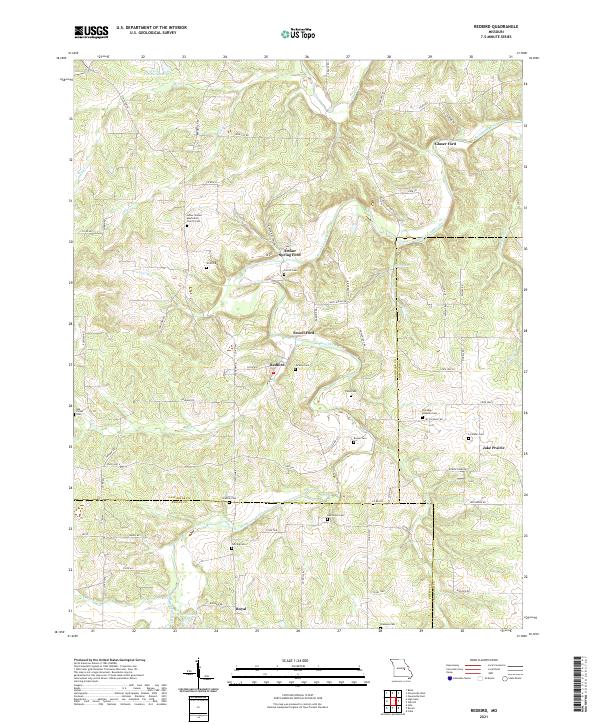
2021 Redbird
Gasconade County, MO
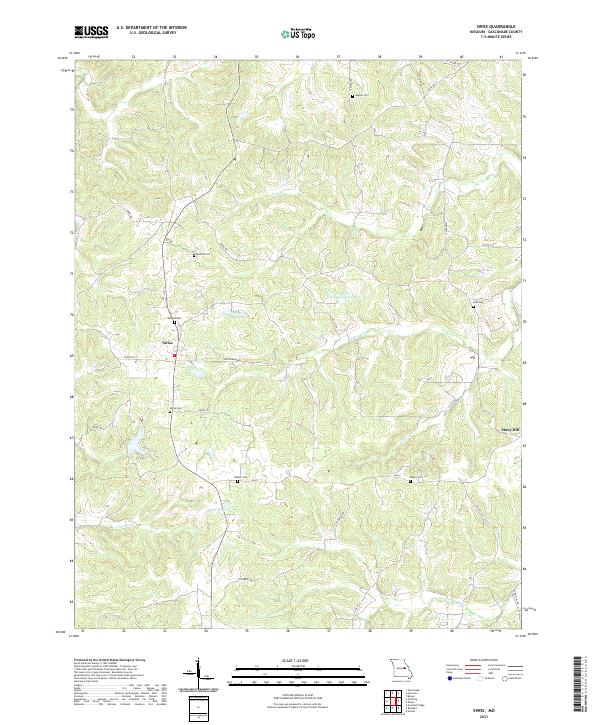
2021 Swiss
Gasconade County, MO