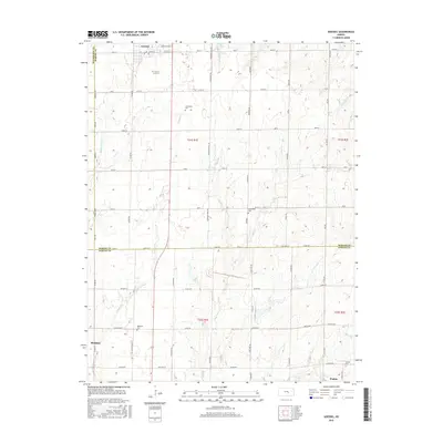
2015 Map of Goessel
USGS Topo · Published 2015About this map
The agricultural plains of the Marion and Harvey county line are defined here by a network of drainage creeks and small farming communities. Settled along the northern edge, Goessel is situated among several historic burial sites, including Greenfield Cem and Schoenthal Cem, which serve as permanent markers of the area's early families. The landscape is structured by a rigid section-line road system, notably including Chisholm Trail Rd, a modern thoroughfare named for the historic cattle trail that once crossed this region.
Find a feature on this map
52 named features on this map. Tap any name to fly to it.
Don’t see what you’re looking for? This feature index may not catch every label — zoom into the map to look around manually.
Map Details
Editions of this 2015 Goessel Map
This is the sole edition of this map. No revisions or reprints were ever made.
Other maps of this area

1889 · Newton
USGS Topo · 1:125,000

1894 · Newton
USGS Topo · 1:125,000

1955 · Hutchinson
USGS Topo · 1:250,000

1957 · Newton
USGS Topo · 1:24,000

1957 · Peabody NW
USGS Topo · 1:24,000

1957 · Elbing
USGS Topo · 1:24,000

1959 · Hutchinson
USGS Topo · 1:250,000
1959 · Zimmerdale
USGS Topo · 1:24,000

1965 · Goessel
USGS Topo · 1:24,000
1965 · Hesston
USGS Topo · 1:24,000