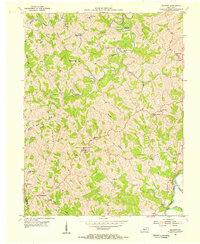
1953 Map of Goforth
USGS Topo · Published 1955About this map
Portland and the surrounding rural communities of Pendleton and Grant counties are defined by a dense network of country churches and family-linked landmarks in the early 1950s. The landscape is carved by the South Fork Licking River and its many tributaries, including Grassy Creek and Fishing Creek. This era reveals a highly localized infrastructure of small schools like Portland Sch and Goforth Sch, alongside numerous spiritual centers such as Mt Moriah Ch, Unity Ch, and Short Creek Ch. The presence of established burial grounds like McMillan Cem and Johns Cem offers significant value for genealogical research. The map reflects a period of Kentucky hill country life before modern consolidation, where ridgeline settlements like Fairview Ridge were the primary focus of local commerce and community identity.
Find a feature on this map
38 named features on this map. Tap any name to fly to it.
Don’t see what you’re looking for? This feature index may not catch every label — zoom into the map to look around manually.
Map Details
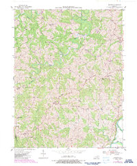
Editions of this 1953 Goforth Map
2 editions found
Other maps of this area

1929 · Alexandria
USGS Topo · 1:48,000

1930 · Falmouth
USGS Topo · 1:48,000

1936 · Alexandria
USGS Topo · 1:62,500

1936 · Falmouth
USGS Topo · 1:62,500

1950 · Mason
USGS Topo · 1:24,000

1950 · Williamstown
USGS Topo · 1:24,000

1950 · Walton
USGS Topo · 1:24,000

1953 · Berry
USGS Topo · 1:24,000

1953 · Kelat
USGS Topo · 1:24,000

1953 · Butler
USGS Topo · 1:24,000