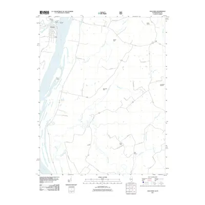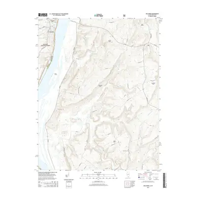
1996 Map of Golconda
USGS Topo · Published 1998About this map
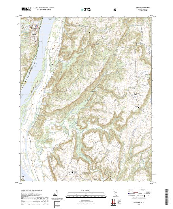
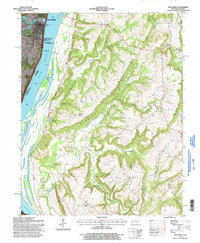
Golconda serves as the focal point of this river-centered landscape, with its significance reflected in the Golconda Historic District National Register Site. The Ohio River dominates the western edge of the sheet, revealing the underwater location of the Lock and Dam No 51 (Submerged) near Pryor Island. The terrain rises sharply away from the river into the Shawnee National Forest, where steep ridges like Newmans Bluff and Duley Bluff define the geography. Genealogy-rich details are scattered across these uplands, including family-named landmarks like Mc Murray Chapel and the Duley Bluff Cem. Settlement patterns show small rural clusters at Joy and Bay City, supported by country schools like Kuebler Sch and Joy Sch. This survey documents a landscape of deep hollows and creek branches where traditional river navigation and forest conservation meet.
Find a feature on this map
35 named features on this map. Tap any name to fly to it.
Don’t see what you’re looking for? This feature index may not catch every label — zoom into the map to look around manually.
Map Details
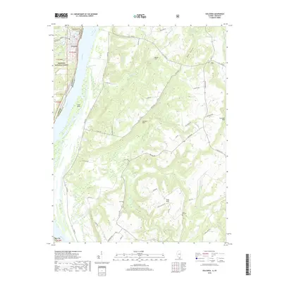
Editions of this 1996 Golconda Map
This is the sole edition of this map. No revisions or reprints were ever made.
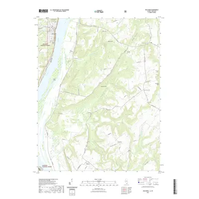
Historical Maps of Golconda Through Time
10 maps found