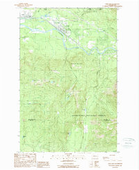
1989 Map of Gold Bar
USGS Topo · Published 1989About this map
Skykomish River and its tributaries define this landscape at the western edge of the Cascades, where the settlements of Startup and Gold Bar serve as gateways to the high country. The map documents the heavy reliance on the river valleys for transport and industry, including the presence of an Old RR Grade and a localized Quarry. North of the river, Wallace Falls State Park preserves the dramatic descent of the Wallace River, while a Fish Hatchery near Olney Creek indicates the importance of local fisheries.
Find a feature on this map
27 named features on this map. Tap any name to fly to it.
Don’t see what you’re looking for? This feature index may not catch every label — zoom into the map to look around manually.
Map Details
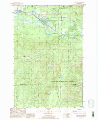
Editions of this 1989 Gold Bar Map
2 editions found
Other maps of this area

1921 · Sultan
USGS Topo · 1:125,000

1923 · Sultan
USGS Topo · 1:125,000

1953 · Sultan
USGS Topo · 1:24,000

1953 · Lake Joy
USGS Topo · 1:24,000

1956 · Monroe
USGS Topo · 1:62,500

1957 · Index
USGS Topo · 1:62,500

1957 · Wenatchee
USGS Topo · 1:250,000

1960 · Mount Si
USGS Topo · 1:62,500
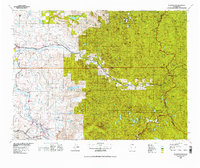
1975 · Skykomish River
USGS Topo · 1:100,000
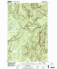
1986 · Lake Joy
USGS Topo · 1:24,000