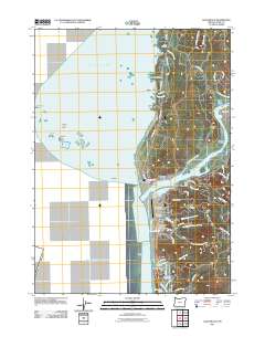
2011 Map of Gold Beach
USGS Topo · Published 2011About this map
Gold Beach and Wedderburn anchor this coastal landscape where the Rogue River meets the Pacific Ocean. The settlement pattern follows the river's path and the shoreline, with industry and infrastructure visible in features like the Gold Beach Boat Launch, Gold Beach Municipal Airport, and the Curry County Fairgrounds. Further south, the community of Hunter Creek sits near the Evans Log Ponds, reflecting the area's timber and transport history.
Find a feature on this map
72 named features on this map. Tap any name to fly to it.
Don’t see what you’re looking for? This feature index may not catch every label — zoom into the map to look around manually.
Map Details
Editions of this 2011 Gold Beach Map
This is the sole edition of this map. No revisions or reprints were ever made.
Other maps of this area
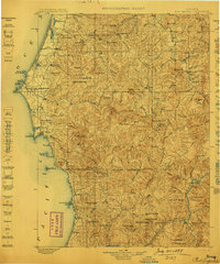
1899 · Port Orford
USGS Topo · 1:125,000
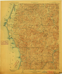
1903 · Port Orford
USGS Topo · 1:125,000
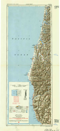
1954 · Coos Bay
USGS Topo · 1:250,000
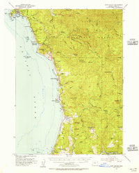
1954 · Port Orford
USGS Topo · 1:62,500
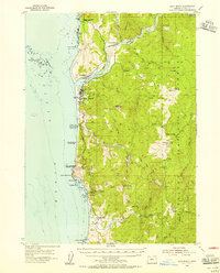
1954 · Gold Beach
USGS Topo · 1:62,500
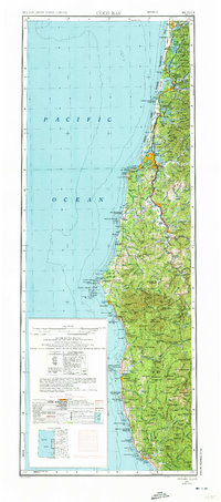
1958 · Coos Bay
USGS Topo · 1:250,000
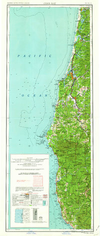
1962 · Coos Bay
USGS Topo · 1:250,000
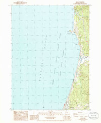
1986 · Ophir
USGS Topo · 1:24,000
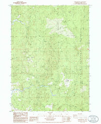
1986 · Sundown Mtn
USGS Topo · 1:24,000
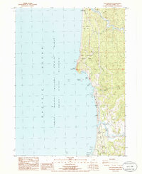
1986 · Cape Sebastian
USGS Topo · 1:24,000