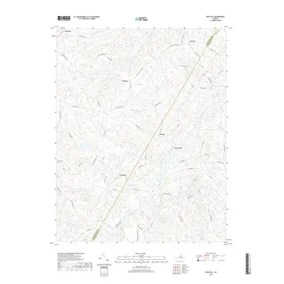
2019 Map of Gold Hill
USGS Topo · Published 2019About this map
Willis River drainage patterns define this part of the Piedmont, where the boundary between Buckingham and Cumberland counties follows the local ridges and watercourses. Small settlements and named crossroads like Hatcher, Nuckols, and Lawford are connected by a network of established routes including Trents Mill Rd and Petersville Rd. The area is characterized by numerous small tributaries such as Buck and Game Cr and Bear Garden Cr, which feed into larger bodies like Bear Creek Lake and Arrowhead Lake. For those researching family history in this rural Virginia landscape, the location of Cornerstone Cem near the western edge and the distribution of farm-to-market roads provide essential context for the late 20th and early 21st-century rural layout.
Find a feature on this map
78 named features on this map. Tap any name to fly to it.
Don’t see what you’re looking for? This feature index may not catch every label — zoom into the map to look around manually.
Map Details
Editions of this 2019 Gold Hill Map
This is the sole edition of this map. No revisions or reprints were ever made.
Other maps of this area

1891 · Palmyra
USGS Topo · 1:125,000

1891 · Farmville
USGS Topo · 1:125,000

1893 · Farmville
USGS Topo · 1:125,000

1895 · Palmyra
USGS Topo · 1:125,000

1897 · Palmyra
USGS Topo · 1:125,000

1947 · Roanoke
USGS Topo · 1:250,000

1950 · Dillwyn
USGS Topo · 1:62,500

1958 · Farmville
USGS Topo · 1:62,500

1958 · Jetersville
USGS Topo · 1:62,500

1958 · Dillwyn
USGS Topo · 1:62,500