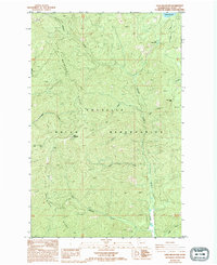
1985 Map of Gold Mountain
USGS Topo · Published 1994About this map
The Gold Mountain Ridge dominates this portion of the Colville Indian Reservation, reaching its peak at the Gold Mountain Lookout. This 1985 survey, later revised in 1993, documents a landscape defined by an intricate network of drainages that flow from the high ridges toward the east and south. Significant water bodies include South Twin Lake and the smaller Little Twin Lakes in the northeastern corner, which feed into Sucker Creek.
Find a feature on this map
20 named features on this map. Tap any name to fly to it.
Don’t see what you’re looking for? This feature index may not catch every label — zoom into the map to look around manually.
Map Details
Editions of this 1985 Gold Mountain Map
2 editions found
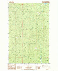
Other maps of this area

1948 · Wilmont Creek
USGS Topo · 1:62,500

1950 · Wilmont Creek
USGS Topo · 1:62,500

1952 · Keller
USGS Topo · 1:62,500

1952 · Twin Lakes
USGS Topo · 1:62,500

1953 · Seventeenmile Mtn.
USGS Topo · 1:62,500

1954 · Okanogan
USGS Topo · 1:250,000

1956 · Wilmont Creek
USGS Topo · 1:62,500

1958 · Okanogan
USGS Topo · 1:250,000

1984 · Nespelem
USGS Topo · 1:100,000
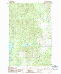
1985 · Moon Mountain
USGS Topo · 1:24,000