
2011 Map of Golden Lake
USGS Topo · Published 2011About this map
Golden Lake and its neighboring basins dominate this eastern North Dakota landscape, showing the hydrology of Steele County as it appeared in the early 21st century. This area is characterized by a high concentration of prairie potholes and interconnected water bodies, including North Golden Lake and the marshy margins of Golden Rush Lake. The regional drainage is defined by the Beaver Creek system in the north, managed by the Beaver Creek Dam, while the southern portion of the quadrangle is bisected by the meandering Middle Branch Goose River. A rigid grid of section-line roads, including County Hwy-23 and 135th Ave NE, organizes the agricultural plains, providing clear markers for land ownership and historical property research in this rural township.
Find a feature on this map
9 named features on this map. Tap any name to fly to it.
Don’t see what you’re looking for? This feature index may not catch every label — zoom into the map to look around manually.
Map Details
Editions of this 2011 Golden Lake Map
This is the sole edition of this map. No revisions or reprints were ever made.
Other maps of this area

1952 · Grand Forks
USGS Topo · 1:250,000

1956 · Grand Forks
USGS Topo · 1:250,000

1966 · Grand Forks
USGS Topo · 1:250,000

1967 · Finley NE
USGS Topo · 1:24,000

1967 · Blabon
USGS Topo · 1:24,000

1967 · Finley
USGS Topo · 1:24,000

1968 · Hope NE
USGS Topo · 1:24,000

1968 · Sherbrooke
USGS Topo · 1:24,000
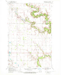
1970 · Northwood SE
USGS Topo · 1:24,000
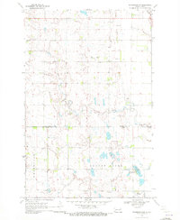
1970 · Northwood NW
USGS Topo · 1:24,000
Featured Places
- Golden Lake Township, ND
- Beaver Creek Township, ND
- Finley Township, ND
- Westfield Township, ND
- Steele County, ND