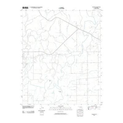
2010 Map of Golden
USGS Topo · Published 2010About this map
The Glover River meanders southward through this portion of McCurtain County, eventually meeting the Little River near the southern edge of the survey. The landscape is defined by the fluid dynamics of these waterways, evidenced by significant river features like Shuler Bend and Thompson Bend. This era shows a rural Oklahoma topography where water management and natural drainage systems, such as South Boktuklo Creek and Courthouse Creek, dictate the land's character.
Find a feature on this map
18 named features on this map. Tap any name to fly to it.
Don’t see what you’re looking for? This feature index may not catch every label — zoom into the map to look around manually.
Map Details
Editions of this 2010 Golden Map
This is the sole edition of this map. No revisions or reprints were ever made.
Other maps of this area

1901 · Alikchi
USGS Topo · 1:125,000

1902 · Lukfata
USGS Topo · 1:125,000

1950 · Mcalester
USGS Topo · 1:250,000

1950 · Idabel
USGS Topo · 1:24,000

1951 · Idabel
USGS Topo · 1:24,000

1951 · Garvin
USGS Topo · 1:24,000

1951 · Millerton
USGS Topo · 1:24,000

1953 · Texarkana
USGS Topo · 1:250,000

1956 · Texarkana
USGS Topo · 1:250,000

1959 · Golden
USGS Topo · 1:62,500