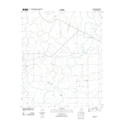
2012 Map of Golden
USGS Topo · Published 2012About this map
The Glover River winds through the heart of McCurtain County, defining the settlement patterns of Glover and nearby North Pole in the early 21st century. This portion of Oklahoma is characterized by the confluence of numerous watercourses, including Little River and South Boktuklo Cr, which create distinct topographical features such as Shuler Bend and Thompson Bend. The local infrastructure is shaped by a grid of rural roads and established routes like Hearndon Rd, connecting dispersed residences and agricultural plots. This survey reflects the enduring rural character of the region, where family names and geographic landmarks like Pine Lake and Sunk Lake remain prominent. The drainage network, including Courthouse Cr and Campbell Cr, underscores the low-lying, water-dominant landscape south of Golden.
Find a feature on this map
26 named features on this map. Tap any name to fly to it.
Don’t see what you’re looking for? This feature index may not catch every label — zoom into the map to look around manually.
Map Details
Editions of this 2012 Golden Map
This is the sole edition of this map. No revisions or reprints were ever made.
Other maps of this area

1901 · Alikchi
USGS Topo · 1:125,000

1902 · Lukfata
USGS Topo · 1:125,000

1950 · Mcalester
USGS Topo · 1:250,000

1950 · Idabel
USGS Topo · 1:24,000

1951 · Idabel
USGS Topo · 1:24,000

1951 · Garvin
USGS Topo · 1:24,000

1951 · Millerton
USGS Topo · 1:24,000

1953 · Texarkana
USGS Topo · 1:250,000

1956 · Texarkana
USGS Topo · 1:250,000

1959 · Golden
USGS Topo · 1:62,500