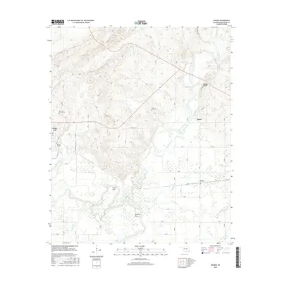
2016 Map of Golden
USGS Topo · Published 2016About this map
Wright City and the surrounding timberlands of McCurtain County are defined by the convergence of the Little River and the Glover River. This landscape is marked by the winding paths of these waterways, creating distinct features such as Schuler Bend and Thompson Bend where the river loops through low-lying wetlands. The settlement patterns follow the higher ground between creek drainages like Horse Head Cr and Benningfield Cr. Local history is anchored by sites like the Joe Slater Memorial Cem and Naniah Chito Cem, while the small communities of Glover, Golden, and North Pole provide geographic markers for the rural road network. The map reveals the intricate network of local connectors such as Hearndon Rd and Line St that bind these remote hamlets together against a backdrop of dense forest and riparian bottomlands.
Find a feature on this map
27 named features on this map. Tap any name to fly to it.
Don’t see what you’re looking for? This feature index may not catch every label — zoom into the map to look around manually.
Map Details
Editions of this 2016 Golden Map
This is the sole edition of this map. No revisions or reprints were ever made.
Other maps of this area

1901 · Alikchi
USGS Topo · 1:125,000

1902 · Lukfata
USGS Topo · 1:125,000

1950 · Mcalester
USGS Topo · 1:250,000

1950 · Idabel
USGS Topo · 1:24,000

1951 · Idabel
USGS Topo · 1:24,000

1951 · Garvin
USGS Topo · 1:24,000

1951 · Millerton
USGS Topo · 1:24,000

1953 · Texarkana
USGS Topo · 1:250,000

1956 · Texarkana
USGS Topo · 1:250,000

1959 · Golden
USGS Topo · 1:62,500