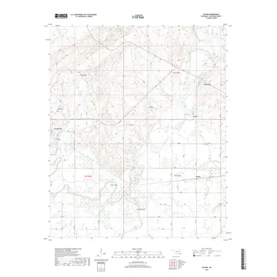
2018 Map of Golden
USGS Topo · Published 2018About this map
The confluence of the Glover River and the Little River defines the landscape of western McCurtain County. This modern survey illustrates the rural character of southeastern Oklahoma, where small communities like Wright City, Golden, and Glover serve as anchors in a terrain dominated by timber and water. Local history is deeply embedded in the land, evidenced by markers such as the Joe Slater Memorial Cem and Naniah Chito Cem.
Find a feature on this map
30 named features on this map. Tap any name to fly to it.
Don’t see what you’re looking for? This feature index may not catch every label — zoom into the map to look around manually.
Map Details
Editions of this 2018 Golden Map
This is the sole edition of this map. No revisions or reprints were ever made.
Other maps of this area

1901 · Alikchi
USGS Topo · 1:125,000

1902 · Lukfata
USGS Topo · 1:125,000

1950 · Mcalester
USGS Topo · 1:250,000

1950 · Idabel
USGS Topo · 1:24,000

1951 · Idabel
USGS Topo · 1:24,000

1951 · Garvin
USGS Topo · 1:24,000

1951 · Millerton
USGS Topo · 1:24,000

1953 · Texarkana
USGS Topo · 1:250,000

1956 · Texarkana
USGS Topo · 1:250,000

1959 · Golden
USGS Topo · 1:62,500