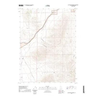
2023 Map of Golden Spike Monument
USGS Topo · Published 2023About this map
Promontory Summit serves as the focal point for this landscape, marking the historic convergence point within the North Promontory Mountains. The map illustrates a modern infrastructure of heritage tourism, dominated by the Golden Spike Loop and the West Auto Tour Route, which follow the alignment of the late 19th-century transcontinental rail path. These routes navigate through the distinctive drainage of Promontory Hollow and past the high elevation of Kings Pass.
Find a feature on this map
22 named features on this map. Tap any name to fly to it.
Don’t see what you’re looking for? This feature index may not catch every label — zoom into the map to look around manually.
Map Details
Editions of this 2023 Golden Spike Monument Map
This is the sole edition of this map. No revisions or reprints were ever made.
Other maps of this area

1954 · Brigham City
USGS Topo · 1:250,000

1958 · Brigham City
USGS Topo · 1:250,000

1961 · Thatcher Mountain
USGS Topo · 1:62,500

1962 · Brigham City
USGS Topo · 1:250,000

1966 · Thatcher Mountain SW
USGS Topo · 1:24,000

1967 · Golden Spike Monument
USGS Topo · 1:24,000

1967 · East Promontory
USGS Topo · 1:24,000

1968 · Messix Peak
USGS Topo · 1:24,000

1968 · Rozel
USGS Topo · 1:24,000

1968 · Lake Ridge
USGS Topo · 1:24,000