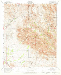
1956 Map of Goldfield
USGS Topo · Published 1973About this map
The Goldfield Mountains and the western edge of the Superstition Mountains dominate this mid-century landscape, a region defined by its mining heritage and cattle ranching. The settlement of Goldfield serves as a central point, surrounded by a high density of workings including the Goldfield Mine, Bluebird Mine, and Tomahawk Mine. This 1956 survey captures the area before modern expansion, when the Apache Trail was the primary corridor through the high desert and scattered outposts like First Water Ranch and Kings Ranch marked the sparse human presence. Cultural history is visible in the rugged interior, with noted sites for Indian Hieroglyphics and Spanish Hieroglyphics near Hieroglyphic Spring. The topography reveals prominent landmarks such as The Flatiron and Massacre Grounds, illustrating the complex drainage systems of Boulder Canyon and Siphon Draw that carved this arid terrain.
Find a feature on this map
64 named features on this map. Tap any name to fly to it.
Don’t see what you’re looking for? This feature index may not catch every label — zoom into the map to look around manually.
Map Details
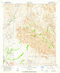
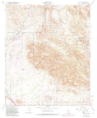
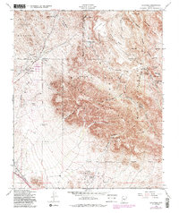
Editions of this 1956 Goldfield Map
5 editions found

Other maps of this area

1900 · Florence
USGS Topo · 1:125,000

1902 · Florence
USGS Topo · 1:125,000

1904 · Desert Well
USGS Topo · 1:62,500

1904 · Ft. McDowell
USGS Topo · 1:62,500

1906 · Ft. McDowell
USGS Topo · 1:62,500

1906 · Desert Well
USGS Topo · 1:62,500

1907 · Roosevelt
USGS Topo · 1:125,000

1909 · Four Peaks
USGS Topo · 1:125,000

1912 · Roosevelt
USGS Topo · 1:125,000

1930 · Cave Creek
USGS Topo · 1:125,000