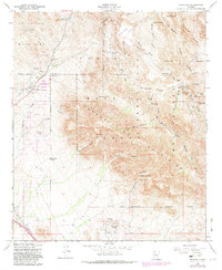
1956 Map of Goldfield
USGS Topo · Published 1982About this map
Goldfield Mountains and the northern reaches of the Superstition Mountains dominate this landscape, revealing a history of mineral pursuit and rugged ranching in the mid-1950s. The map highlights the mining heritage of the region with several noted operations, including the Goldfield Mine, Tomahawk Mine, and Black Queen Mine. These sites sit adjacent to the legendary Lost Dutchman State Park, where the Massacre Grounds suggest the darker lore of the territory.
Find a feature on this map
60 named features on this map. Tap any name to fly to it.
Don’t see what you’re looking for? This feature index may not catch every label — zoom into the map to look around manually.
Map Details
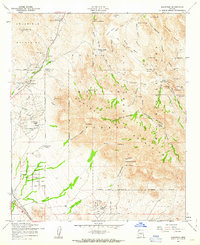
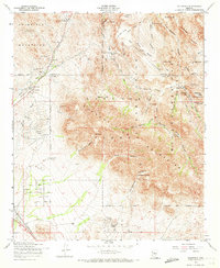
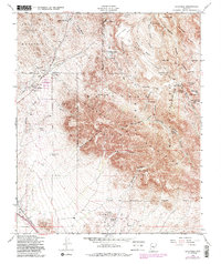
Editions of this 1956 Goldfield Map
5 editions found

Other maps of this area

1900 · Florence
USGS Topo · 1:125,000

1902 · Florence
USGS Topo · 1:125,000

1904 · Desert Well
USGS Topo · 1:62,500

1904 · Ft. McDowell
USGS Topo · 1:62,500

1906 · Ft. McDowell
USGS Topo · 1:62,500

1906 · Desert Well
USGS Topo · 1:62,500

1907 · Roosevelt
USGS Topo · 1:125,000

1909 · Four Peaks
USGS Topo · 1:125,000

1912 · Roosevelt
USGS Topo · 1:125,000

1930 · Cave Creek
USGS Topo · 1:125,000