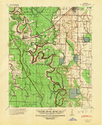
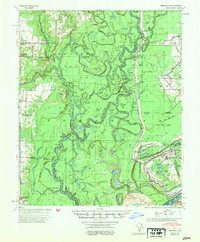
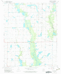
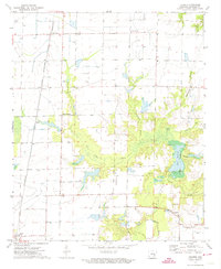
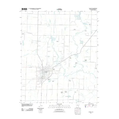
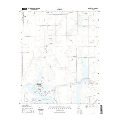
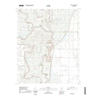
1941 Map of Goldman
USGS Topo · Published 1944About this map
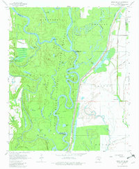
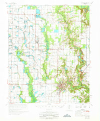
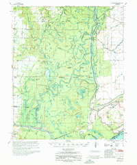
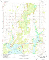
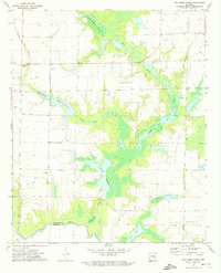
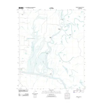
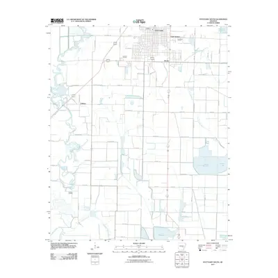
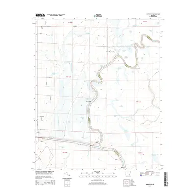
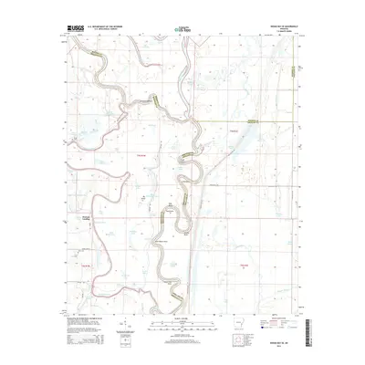
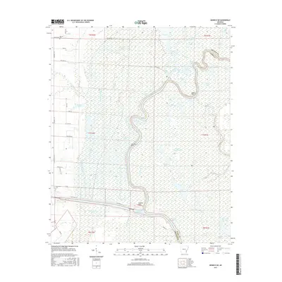
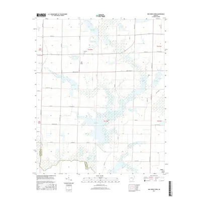
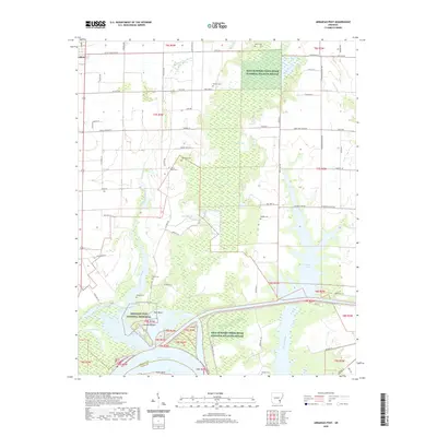
Stuttgart anchors the northeastern corner of this Grand Prairie landscape, where the St Louis Southwestern railroad cuts through a terrain defined by extensive water management and irrigation. The transition from the developed town site to the surrounding wetlands is marked by a complex network of man-made structures, including the Sunshine Water Co Reservoir and Tindall Reservoir. Along the winding courses of Bayou Meto and Little Bayou Meto, the map documents numerous historic community hubs such as Humphrey and Goldman. Genealogists will find significant value in the distribution of rural landmarks, ranging from the Lone Tree Cem and Catholic Cem to several combined school and church sites like Alcorn Sch Corinth Ch and Flynn Ch & Cem, illustrating the settlement patterns of Arkansas and Jefferson counties during the early 1940s.
Find a feature on this map
67 named features on this map. Tap any name to fly to it.
Don’t see what you’re looking for? This feature index may not catch every label — zoom into the map to look around manually.
Map Details
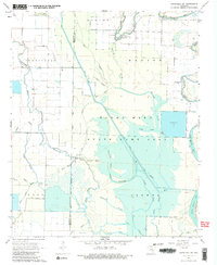
Editions of this 1941 Goldman Map
2 editions found
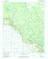
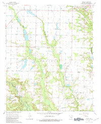
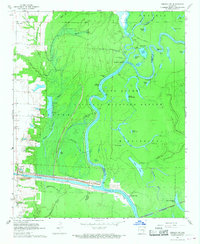
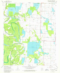
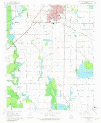
Historical Maps of Stuttgart Through Time
92 maps found
1939 Henrico
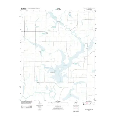
Arkansas County, AR

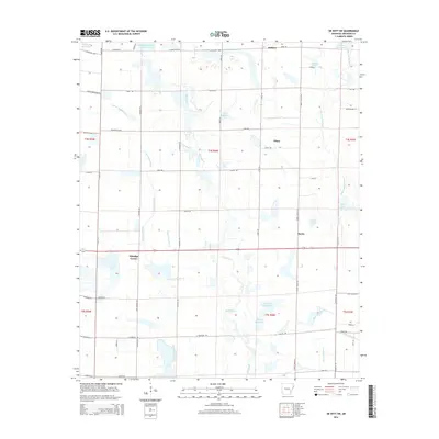
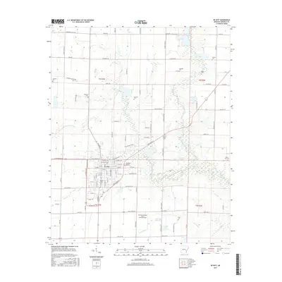
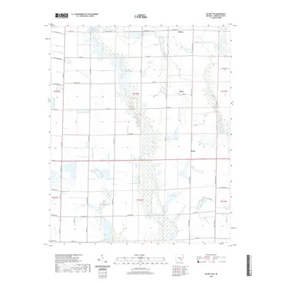
1941 De Witt
Arkansas County, AR
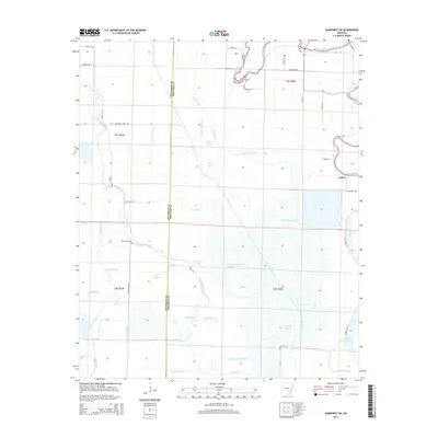
1941 Goldman
Arkansas County, AR
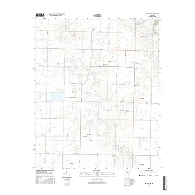
1954 De Witt
Arkansas County, AR
1954 Henrico
Arkansas County, AR
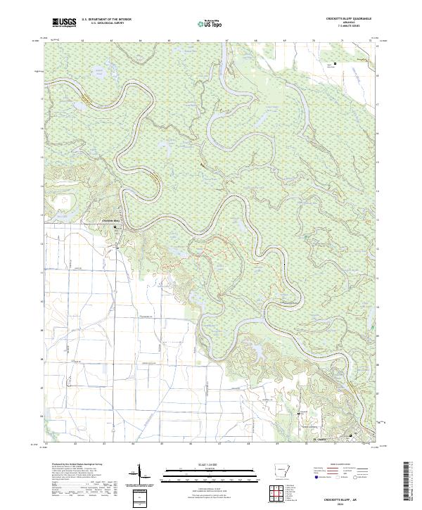
1967 Crocketts Bluff
Arkansas County, AR
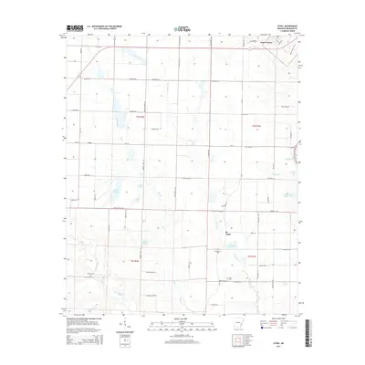
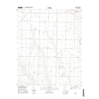
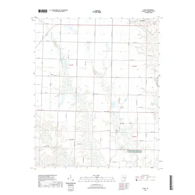
1967 Ethel
Arkansas County, AR
1967 Henrico SW
Arkansas County, AR
1967 Indian Bay SE
Arkansas County, AR
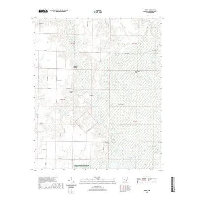
1967 Weber
Arkansas County, AR
1968 De Witt
Arkansas County, AR
1968 De Witt NE
Arkansas County, AR
1968 De Witt SW
Arkansas County, AR
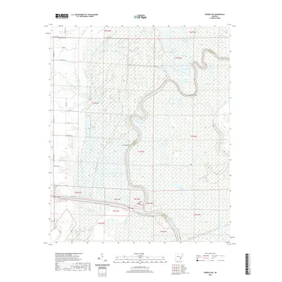
1968 Humphrey SW
Arkansas County, AR
1968 Lodge Corner
Arkansas County, AR
1968 Stuttgart South
Arkansas County, AR
1970 De Witt
Arkansas County, AR
1970 Henrico
Arkansas County, AR
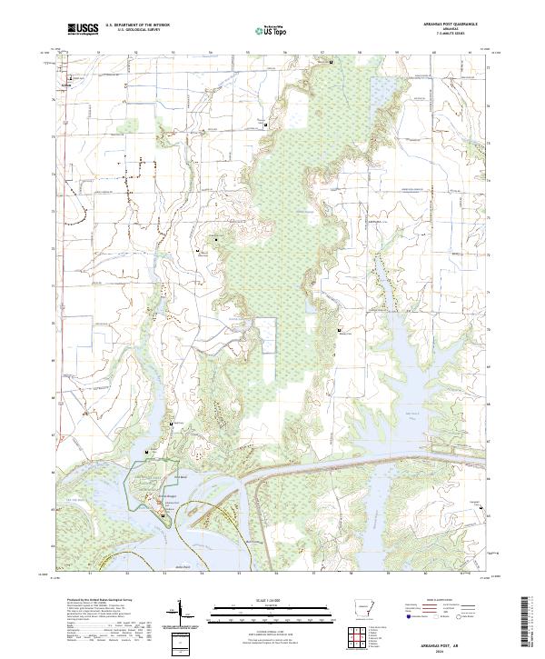
1972 Arkansas Post
Arkansas County, AR
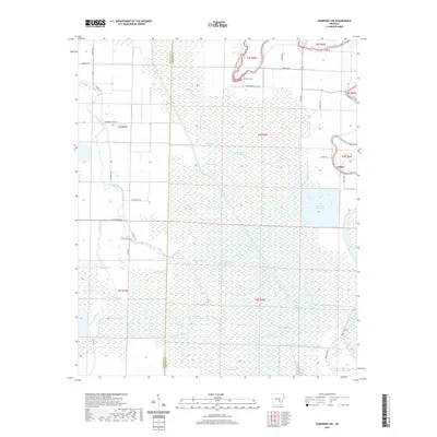
1972 One Horse Store
Arkansas County, AR
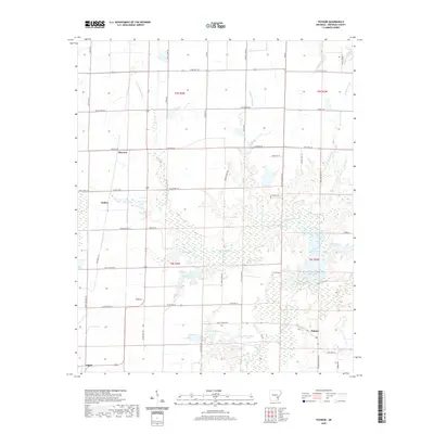
1972 Tichnor
Arkansas County, AR
1986 De Witt
Arkansas County, AR
2011 Arkansas Post
Arkansas County, AR
2011 Crocketts Bluff
Arkansas County, AR
2011 De Witt
Arkansas County, AR
2011 De Witt NE
Arkansas County, AR
2011 De Witt SW
Arkansas County, AR
2011 Ethel
Arkansas County, AR
2011 Henrico SW
Arkansas County, AR
2011 Humphrey SW
Arkansas County, AR
2011 Indian Bay SE
Arkansas County, AR
2011 Lodge Corner
Arkansas County, AR
2011 One Horse Store
Arkansas County, AR
2011 Stuttgart South
Arkansas County, AR
2011 Tichnor
Arkansas County, AR
2011 Weber
Arkansas County, AR
2014 Arkansas Post
Arkansas County, AR
2014 Crocketts Bluff
Arkansas County, AR
2014 De Witt
Arkansas County, AR
2014 De Witt NE
Arkansas County, AR
2014 De Witt SW
Arkansas County, AR
2014 Ethel
Arkansas County, AR
2014 Henrico SW
Arkansas County, AR
2014 Humphrey SW
Arkansas County, AR
2014 Indian Bay SE
Arkansas County, AR
2014 Lodge Corner
Arkansas County, AR
2014 One Horse Store
Arkansas County, AR
2014 Stuttgart South
Arkansas County, AR
2014 Tichnor
Arkansas County, AR
2014 Weber
Arkansas County, AR
2017 Arkansas Post
Arkansas County, AR
2017 Crocketts Bluff
Arkansas County, AR
2017 De Witt
Arkansas County, AR
2017 De Witt NE
Arkansas County, AR
2017 De Witt SW
Arkansas County, AR
2017 Ethel
Arkansas County, AR
2017 Henrico SW
Arkansas County, AR
2017 Humphrey SW
Arkansas County, AR
2017 Indian Bay SE
Arkansas County, AR
2017 Lodge Corner
Arkansas County, AR
2017 One Horse Store
Arkansas County, AR
2017 Stuttgart South
Arkansas County, AR
2017 Tichnor
Arkansas County, AR
2017 Weber
Arkansas County, AR
2020 Arkansas Post
Arkansas County, AR
2020 Crocketts Bluff
Arkansas County, AR
2020 De Witt
Arkansas County, AR
2020 De Witt NE
Arkansas County, AR
2020 De Witt SW
Arkansas County, AR
2020 Ethel
Arkansas County, AR
2020 Henrico SW
Arkansas County, AR
2020 Humphrey SW
Arkansas County, AR
2020 Indian Bay SE
Arkansas County, AR
2020 Lodge Corner
Arkansas County, AR
2020 One Horse Store
Arkansas County, AR
2020 Stuttgart South
Arkansas County, AR
2020 Tichnor
Arkansas County, AR
2020 Weber
Arkansas County, AR
2024 Arkansas Post
Arkansas County, AR
2024 Crocketts Bluff
Arkansas County, AR
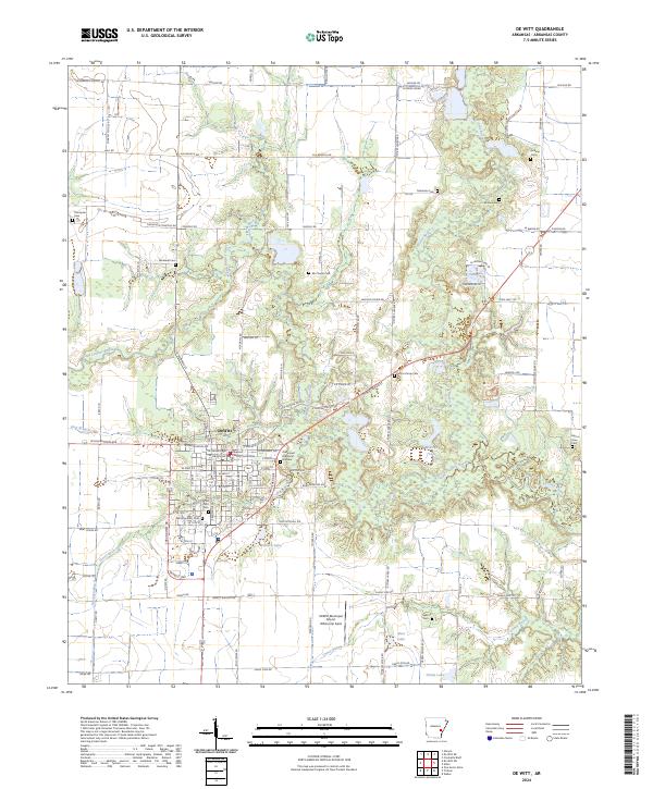
2024 De Witt
Arkansas County, AR
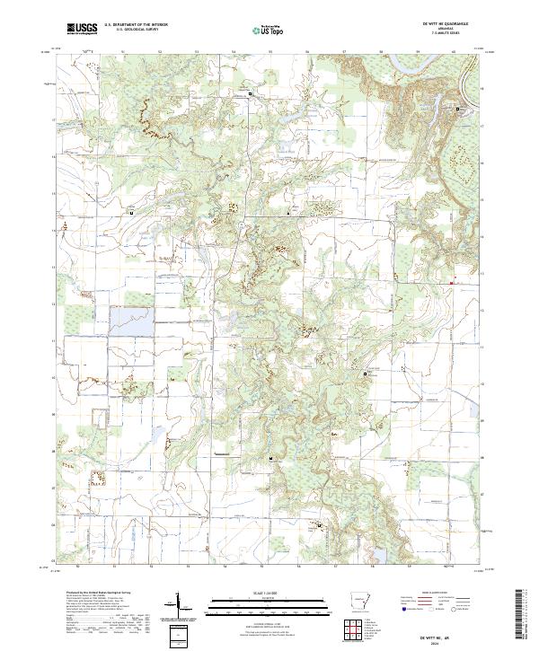
2024 De Witt NE
Arkansas County, AR
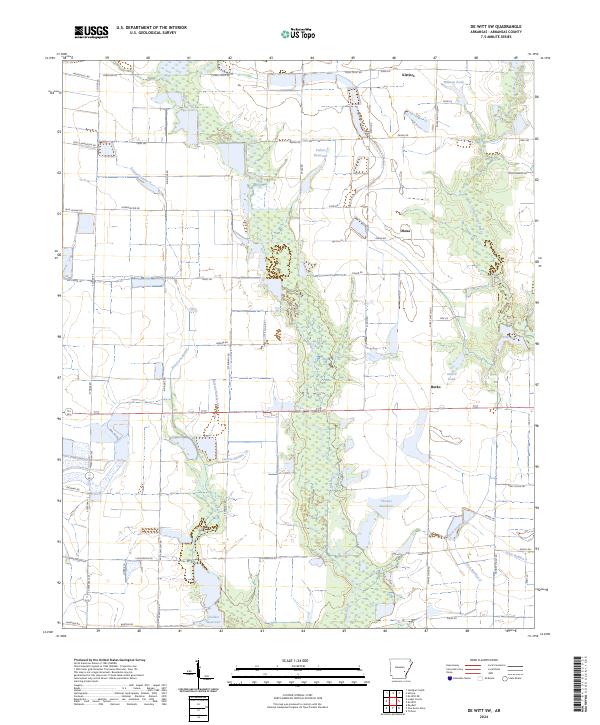
2024 De Witt SW
Arkansas County, AR
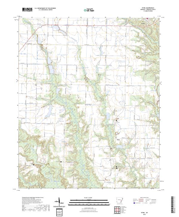
2024 Ethel
Arkansas County, AR
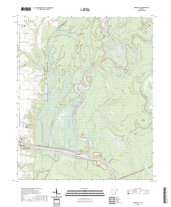
2024 Henrico SW
Arkansas County, AR
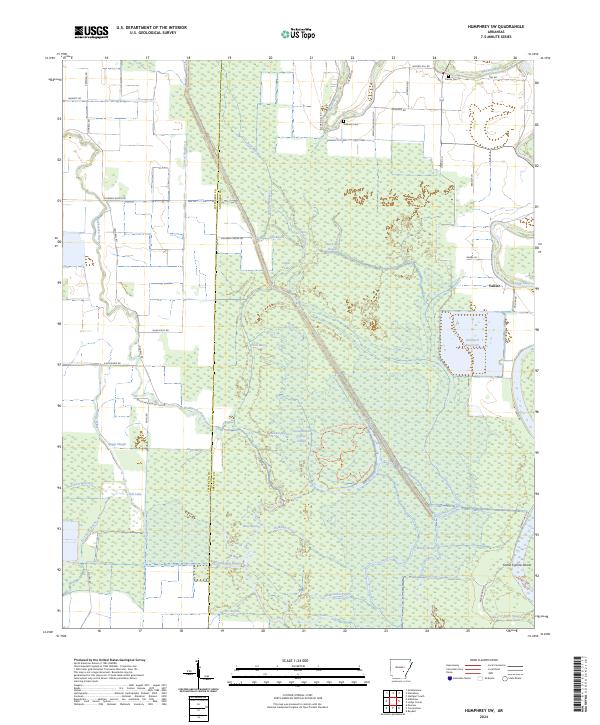
2024 Humphrey SW
Arkansas County, AR
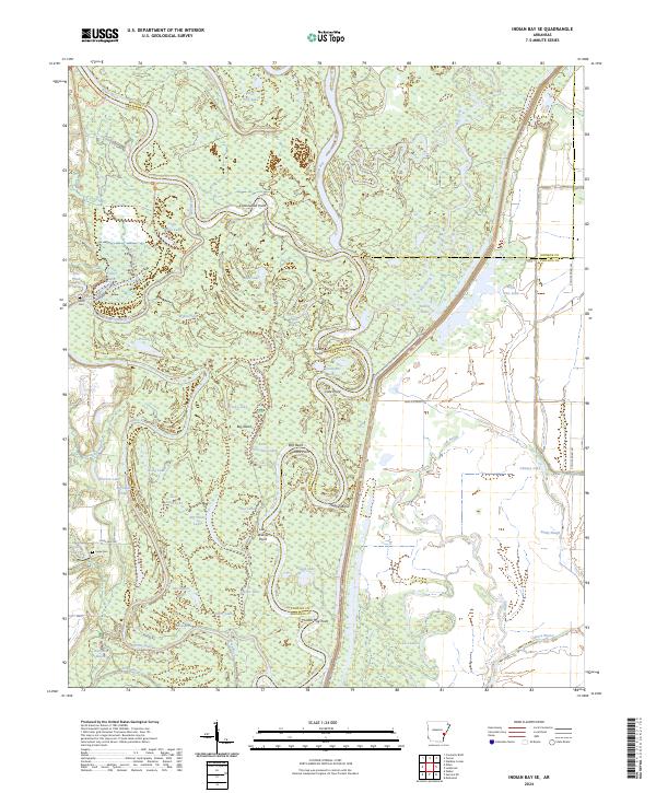
2024 Indian Bay SE
Arkansas County, AR
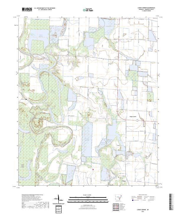
2024 Lodge Corner
Arkansas County, AR
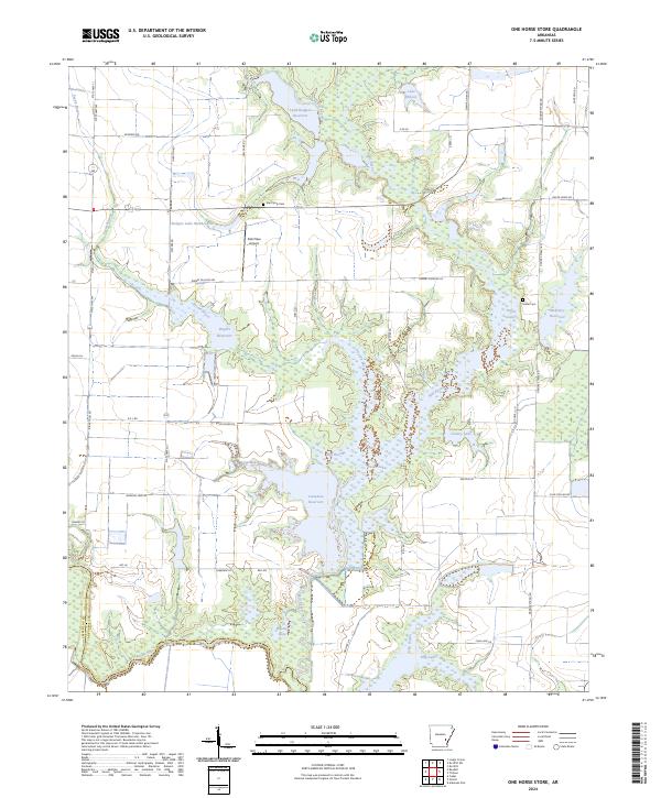
2024 One Horse Store
Arkansas County, AR
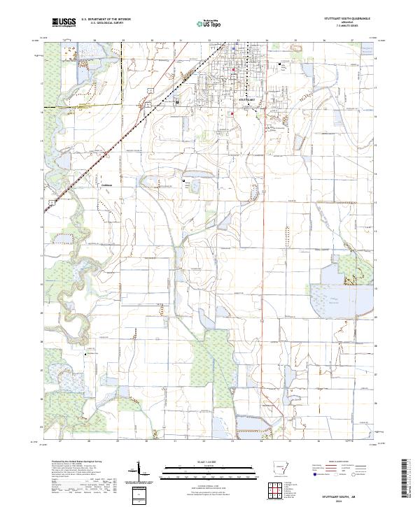
2024 Stuttgart South
Arkansas County, AR
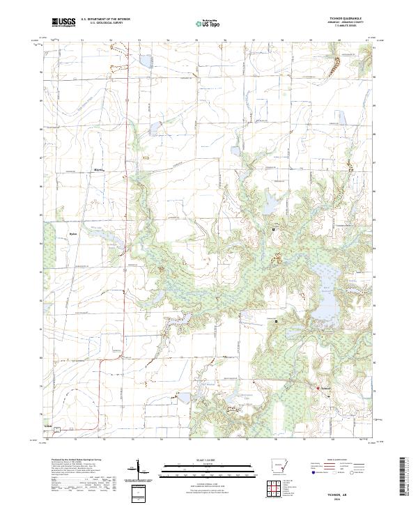
2024 Tichnor
Arkansas County, AR
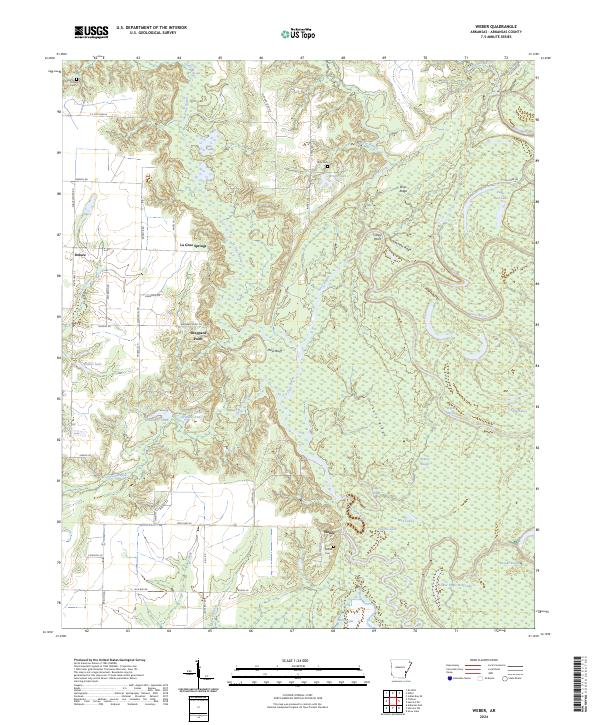
2024 Weber
Arkansas County, AR