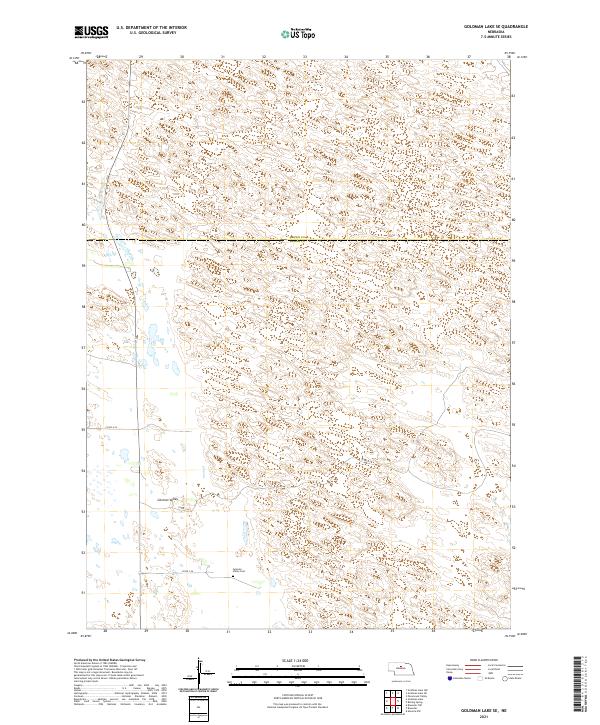
2021 Map of Goldman Lake SE
USGS Topo · Published 2021About this map
German Valley defines the landscape of this Sandhills region along the border of Brown and Blaine Counties. The area is characterized by an intricate network of wetlands and small water bodies that pocket the terrain, reflecting the high water table of the Nebraska Sandhills. Human presence in this isolated environment is centered around the German Valley Cem, a key landmark for local genealogical research. Transportation through the area is limited to a few local routes like Co Rd 1-24 and Co Rd 3-24, which navigate the depressions and ridges of the valley. This 2021 survey documents the persistent rural character of the region, where the township and range lines of the Public Land Survey System remain the primary structural framework for the land.
Find a feature on this map
11 named features on this map. Tap any name to fly to it.
Don’t see what you’re looking for? This feature index may not catch every label — zoom into the map to look around manually.
Map Details
Editions of this 2021 Goldman Lake SE Map
This is the sole edition of this map. No revisions or reprints were ever made.
Other maps of this area

1952 · Brewster
USGS Topo · 1:24,000

1952 · Almeria NW
USGS Topo · 1:24,000

1952 · Brewster NW
USGS Topo · 1:24,000

1955 · Broken Bow
USGS Topo · 1:250,000

1955 · O'Neill
USGS Topo · 1:250,000

1956 · Broken Bow
USGS Topo · 1:250,000

1959 · O'Neill
USGS Topo · 1:250,000

1969 · O'Neill
USGS Topo · 1:250,000

1981 · Boiling Spring
USGS Topo · 1:24,000

1981 · Paramount Valley
USGS Topo · 1:24,000